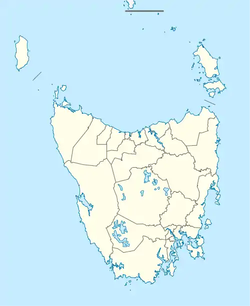
Murdunna
Murdunna is a rural locality in the local government area (LGA) of Tasman in the South-east LGA region of Tasmania. The locality is about 36 kilometres (22 mi) north-east of the town of Nubeena. The 2016 census recorded a population of 309 for the state suburb of Murdunna.[1] It is a small town at the head of King George Sound, a narrow bay opening off Norfolk Bay. Murdunna is approximately halfway down the Forestier Peninsula on the Arthur Highway to Port Arthur. It is around 6 metres (20 feet) above sea level.
| Murdunna Tasmania | |||||||||||||||
|---|---|---|---|---|---|---|---|---|---|---|---|---|---|---|---|
 Murdunna | |||||||||||||||
| Coordinates | 42°47′S 147°52′E | ||||||||||||||
| Population | 309 (2016 census)[1] | ||||||||||||||
| Postcode(s) | 7178 | ||||||||||||||
| Location | 36 km (22 mi) NE of Nubeena | ||||||||||||||
| LGA(s) | Tasman Council | ||||||||||||||
| Region | South-east | ||||||||||||||
| State electorate(s) | Lyons | ||||||||||||||
| Federal division(s) | Lyons | ||||||||||||||
| |||||||||||||||
Population increases in the summer months, and it is becoming increasingly popular with people from Hobart who are looking for weekend getaways. Many houses are owned by non-residents who use them as holiday homes. The name Murdunna is believed to come from a local Aborginal word meaning "place of the stars".
Tourism is a major source of income, although forestry was and still continues to be a major employer. Many inhabitants commute to Hobart on a daily basis with improved roads.
Recreation is centred on Sommers Bay, about 5 km (3.1 mi) west of Murdunna itself.
History
Murdunna was gazetted as a locality in 1967.[2] Murdunna Post Office opened on 1 June 1910 and closed in 1969.[3]
Geography
The waters of the Tasman Sea form the eastern boundary, and Norfolk Bay the western.[4]
Road infrastructure
Route A9 (Arthur Highway) runs through from north-west to south.[2][5]
References
- "2016 Census Quick Stats Murdunna (Tas.)". quickstats.censusdata.abs.gov.au. Australian Bureau of Statistics. 23 October 2017. Retrieved 2 April 2021.
- "Placenames Tasmania – Murdunna". Placenames Tasmania. Select “Search”, enter "1142R", click “Search”, select row, map is displayed, click “Details”. Retrieved 2 April 2021.
- Premier Postal History. "Post Office List". Premier Postal Auctions. Retrieved 16 June 2012.
- Google (2 April 2021). "Murdunna, Tasmania" (Map). Google Maps. Google. Retrieved 2 April 2021.
- "Tasmanian Road Route Codes" (PDF). Department of Primary Industries, Parks, Water & Environment. May 2017. Archived from the original (PDF) on 1 August 2017. Retrieved 2 April 2021.