Muyombe
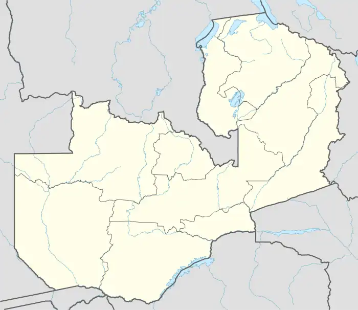
Muyombe is a rural community town on the M14 Road in Mafinga District, a district east of Isoka, Zambia, and it is the biggest settlement in the region, near the Mafinga Hills. The chiefdom is sparsely populated over an area of 625 square miles (1619 square kilometres).
Muyombe | |
|---|---|
 Muyombe Location in Zambia | |
| Coordinates: 10°34′32″S 33°27′09″E | |
| Country | |
| Province | Muchinga Province |
| District | Mafinga District |
| Time zone | UTC+2 (CAT) |
References
- World Search location map of Muyombe
- Bond, G.C, (2012). Historical Fragments and Social Constructions in Northern Zambia: A Personal Journey. New York: Columbia University.
This article is issued from Wikipedia. The text is licensed under Creative Commons - Attribution - Sharealike. Additional terms may apply for the media files.