Mykolaivka, Luhansk Oblast
Mykolaivka (Ukrainian: Миколаївка; Russian: Николаевка) is a village in Luhansk Raion (district) in Luhansk Oblast of eastern Ukraine, at about 12.4 km ENE from the centre of Luhansk city, on the right bank of the Siverskyi Donets river.
Mykolaivka
Миколаївка | |
|---|---|
 Mykolaivka Location of Verhnioshyrokivske within Ukraine 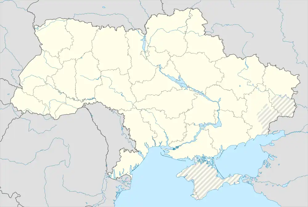 Mykolaivka Mykolaivka (Ukraine) | |
| Coordinates: 48.590833°N 39.520278°E | |
| Country | |
| Province | |
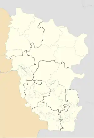
| District | Luhansk Raion |
| Founded | 1689 |
| Area | |
| • Total | 22 km2 (8 sq mi) |
| Elevation | 45 m (148 ft) |
| Population | |
| • Total | 2,135 |
| • Density | 97/km2 (250/sq mi) |
| Time zone | UTC+2 (EET) |
| • Summer (DST) | UTC+3 (EEST) |
| Postal code | 93704 |
| Area code | +380 6473 |
The settlement was taken under control of pro-Russian forces during the War in Donbass, that started in 2014.[1][2]
Demographics
In 2001 the settlement had 2,135 inhabitants. Native language as of the Ukrainian Census of 2001:[3]
- Ukrainian — 34.57%
- Russian — 64.22%
- Others — 1.21%
References
- "Кабмин назвал города Донбасса, подконтрольные сепаратистам". korrespondent.net. Retrieved 8 October 2015.
- "Проект Народного Совета ЛНР в селе Николаевка Станично-Луганского района". nslnr.su. Retrieved 14 October 2015.
- Розподіл населення за рідною мовою на ukrcensus.gov.ua
This article is issued from Wikipedia. The text is licensed under Creative Commons - Attribution - Sharealike. Additional terms may apply for the media files.