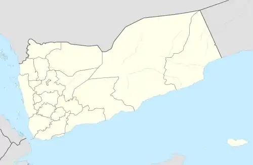
Naʽat, Yemen
Naʽat (Nāʽaṭ), also transliterated as Naʽit, is a village in Kharif District of 'Amran Governorate, Yemen.[1] It is located on Jabal Thanayn, on the eastern side of the al-Bawn plain and close to Raydah.[2]
Naʽat
نجر | |
|---|---|
Village | |
 Naʽat Location in Yemen | |
| Coordinates: 15.74861°N 44.09861°E[1] | |
| Country | |
| Governorate | 'Amran |
| District | Kharif |
| Elevation | 8,350 ft (2,545 m) |
| Time zone | UTC+3 (Yemen Standard Time) |
History
Naʽat is an ancient settlement, with pre-Islamic ruins that have survived to the present. The 10th-century writer al-Hamdani mentions the place frequently in his Sifat Jazirat al-Arab and gives a detailed description of its ruins. According to him, the name Naʽat is derived from that of Thawr (aka Nāʽiṭ) ibn Sufyān, of the tribe of Hamdan. By the time of al-Hamdani, however, Naʽat was probably already in decline, and it is largely absent from historical accounts during the medieval and early modern periods.[2]
References
- "Geonames.org. Nā'aţ". Retrieved 8 February 2021.
- Wilson, Robert T.O. (1989). Gazetteer of Historical North-West Yemen. Germany: Georg Olms AG. p. 327. Retrieved 8 February 2021.
This article is issued from Wikipedia. The text is licensed under Creative Commons - Attribution - Sharealike. Additional terms may apply for the media files.