Nagrijuli
Nagrijuli is an urban locality and Gram Panchayat (Block) in Baksa district, Assam, India.[2][3] Nagrijuli is an area with 7,426 hectares, and has a tea estate.[4][5]
Nagrijuli | |
|---|---|
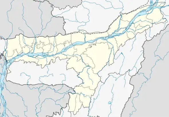 Nagrijuli Map of Assam  Nagrijuli Nagrijuli (India) | |
| Coordinates: 26.7107°N 91.6758°E | |
| Country | |
| State | Assam |
| District | Tamulpur |
| Tehsil | Nagrijuli |
| Area | |
| • Total | 7,426 ha (18,350 acres) |
| Population (2011) | |
| • Total | 94,137 |
| • Density | 1,300/km2 (3,300/sq mi) |
| Languages | |
| • Official | Assamese |
| Time zone | UTC+5:30 (IST) |
| Postal code | 781368[1] |
| STD Code | 03624 |
| Vehicle registration | AS-28 |
| Census code | 304621 |
As per the 2011 Census of India, the Nagrijuli area has a total population of 94,137 people including 47,823 males and 46,314 females.[6]
References
- "NAGRIJULI Pin Code". news.abplive.com. Retrieved 25 July 2022.
- India; Parliament; Rajya Sabha; India; Parliament; Rajya Sabha; Secretariat (2011). "Parliamentary Debates: Official Report". Parliamentary Debates: Official Report. 222 (15–17): 335. ISSN 0537-0167 – via WorldCat.
- Brünn. Moravské muzeum Oddĕleni pro diluvium "Anthropos". "Anthropologie". Anthropologie. Moravské muzeum, Ústav Anthropos. 30–31: 190. 1992. ISSN 0323-1119.
{{cite journal}}: CS1 maint: others (link) - Paul, Mahuya (30 October 1999). "Rossell Tea Buys Nagrijuli Estate For Rs 15 Crore". Business Standard India. Business Standard. Retrieved 25 July 2022.
- "District Irrigation Plan, 2016-2020 Baksa, Assam" (PDF). Directorate of Horticulture & Food Processing | Government Of Assam, India. Archived (PDF) from the original on 16 July 2022. Retrieved 25 July 2022.
- "Primary Census Abstract C.D. Block wise, Assam - District Baksa - 2011". Office of the Registrar General & Census Commissioner. Archived from the original on 17 July 2022. Retrieved 25 July 2022.
This article is issued from Wikipedia. The text is licensed under Creative Commons - Attribution - Sharealike. Additional terms may apply for the media files.