Namao Ridge and Sturgeon View Estates
Namao Ridge and Sturgeon View Estates is an unincorporated community in Alberta, Canada within Sturgeon County that is recognized as a designated place by Statistics Canada.[2] It is located on the south side of Township Road 554, 0.8 km (0.50 mi) east of Highway 28. Between 2001 and 2021, Statistics Canada referred to Namao Ridge and Sturgeon View Estates as Namao,[3] which was also the name of the nearby Hamlet of Namao 6.0 km (3.7 mi) to the south.
Namao Ridge and Sturgeon View Estates | |
|---|---|
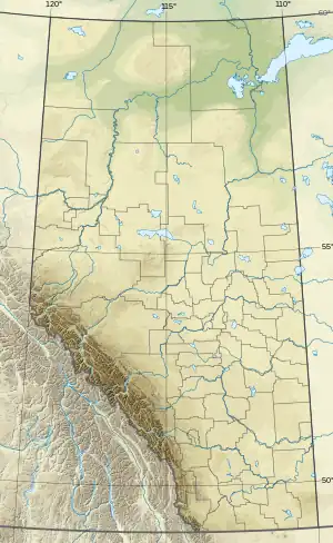 Namao Ridge and Sturgeon View Estates Location of Namao Ridge and Sturgeon View Estates  Namao Ridge and Sturgeon View Estates Namao Ridge and Sturgeon View Estates (Canada) | |
| Coordinates: 53.767°N 113.473°W | |
| Country | Canada |
| Province | Alberta |
| Region | Edmonton Metropolitan Region |
| Census division | 11 |
| Municipal district | Sturgeon County |
| Government | |
| • Type | Unincorporated |
| • Governing body | Sturgeon County Council |
| Area (2021)[1] | |
| • Land | 1.98 km2 (0.76 sq mi) |
| Population (2021)[1] | |
| • Total | 351 |
| • Density | 177.6/km2 (460/sq mi) |
| Time zone | UTC−07:00 (MST) |
| • Summer (DST) | UTC−06:00 (MDT) |
| Area code(s) | 780, 587, 825 |
This designated place consists of two country residential subdivisions – Namao Ridge and Sturgeon View Estates.[4][5] Namao Ridge, or Namao Ridge Estates, and Sturgeon View Estates were separate designated places in 2001.[6]
Demographics
In the 2021 Census of Population conducted by Statistics Canada, Namao Ridge and Sturgeon View Estates had a population of 351 living in 128 of its 134 total private dwellings, a change of 2% from its 2016 population of 344. With a land area of 1.98 km2 (0.76 sq mi), it had a population density of 177.3/km2 (459.1/sq mi) in 2021.[1]
As a designated place in the 2016 Census of Population conducted by Statistics Canada, Namao Ridge and Sturgeon View Estates had a population of 344 living in 130 of its 130 total private dwellings, a change of -3.6% from its 2011 population of 357. With a land area of 1.92 km2 (0.74 sq mi), it had a population density of 179.2/km2 (464.0/sq mi) in 2016.[3]
References
- "Population and dwelling counts: Canada and designated places". Statistics Canada. February 9, 2022. Retrieved February 10, 2022.
- "Population and dwelling counts, for Canada, provinces and territories, and designated places, 2006 and 2001 censuses - 100% data (Alberta)". Statistics Canada. November 5, 2008. Retrieved October 17, 2010.
- "Population and dwelling counts, for Canada, provinces and territories, and designated places, 2016 and 2011 censuses – 100% data (Alberta)". Statistics Canada. February 8, 2017. Retrieved February 13, 2017.
- "Land Use Bylaw – Map 4" (PDF). Statistics Canada. December 31, 2007. Archived from the original (PDF) on July 19, 2011. Retrieved May 8, 2011.
- "GeoSearch2006". Statistics Canada. February 16, 2009. Retrieved May 8, 2011.
- "Population and Dwellings Counts, for Canada, Provinces and Territories, Census Divisions, Census Subdivisions (Municipalities) and Designated Places, 2001 and 1996 Censuses - 100% Data (Sturgeon County)". Statistics Canada. Retrieved May 8, 2011.
Subdivisions of Alberta | |
|---|---|
| Subdivisions | |
| Communities | |
| Cities and urban service areas | |
| |