Nandayure (canton)
Nandayure is a canton in the Guanacaste province of Costa Rica.[2][3] The head city is in Carmona district.
Nandayure | |
|---|---|
.svg.png.webp) Flag  Seal | |
Nandayure canton | |
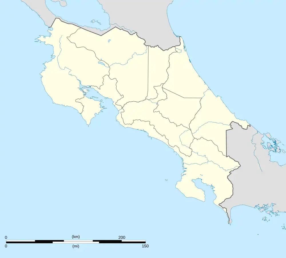
 Nandayure Nandayure canton location in Costa Rica | |
| Coordinates: 9.9014254°N 85.3036154°W | |
| Country | |
| Province | Guanacaste |
| Creation | 9 October 1961[1] |
| Head city | Carmona |
| Districts | |
| Government | |
| • Type | Municipality |
| • Body | Municipalidad de Nandayure |
| Area | |
| • Total | 565.59 km2 (218.38 sq mi) |
| Elevation | 215 m (705 ft) |
| Population (2011) | |
| • Total | 11,121 |
| • Density | 20/km2 (51/sq mi) |
| Time zone | UTC−06:00 |
| Canton code | 509 |
| Website | www |
History
Nandayure was created on 9 October 1961 by decree 2826.[1]
On September 5, 2012, Nandayure was struck by a magnitude 7.6 earthquake, destroying houses in the canton.[4][5]
Geography
Nandayure has an area of 565.59 km²[6] and a mean elevation of 215 metres.[2]
The canton encompasses a piece of the coastline of the Gulf of Nicoya near the mouth of the Tempisque River, including Berrugate Island. It cuts across the center of the Nicoya Peninsula to the Pacific coast between the Ora River to the north and the Bongo River to the south.
Districts
The canton of Nandayure is subdivided into the following districts:
Demographics
| Historical population | |||
|---|---|---|---|
| Census | Pop. | %± | |
| 1963 | 12,038 | — | |
| 1973 | 12,058 | 0.2% | |
| 1984 | 9,604 | −20.4% | |
| 2000 | 9,985 | 4.0% | |
| 2011 | 11,121 | 11.4% | |
|
Instituto Nacional de Estadística y Censos[7] |
|||
For the 2011 census, Nandayure had a population of 11,121 inhabitants. [9]
Transportation
Road transportation
The canton is covered by the following road routes:
References
- Hernández, Hermógenes (1985). Costa Rica: evolución territorial y principales censos de población 1502 - 1984 (in Spanish) (1 ed.). San José: Editorial Universidad Estatal a Distancia. pp. 164–173. ISBN 9977-64-243-5. Retrieved 5 October 2020.
- "Declara oficial para efectos administrativos, la aprobación de la División Territorial Administrativa de la República N°41548-MGP". Sistema Costarricense de Información Jurídica (in Spanish). 19 March 2019. Retrieved 26 September 2020.
- División Territorial Administrativa de la República de Costa Rica (PDF) (in Spanish). Editorial Digital de la Imprenta Nacional. 8 March 2017. ISBN 978-9977-58-477-5.
- "M7.6 - 12km ENE of Hojancha, Costa Rica". United States Geological Survey. September 5, 2012. Retrieved October 3, 2012.
- Mata Blanco, Alonso (September 6, 2012). "Sismo Destruyó Viviendas en Varios Cantones de Guanacaste y Alajuela" [Earthquake Destroyed Homes in Several Cantons of Guanacaste and Alajuela]. La Nación (in Spanish). Archived from the original on September 25, 2012. Retrieved October 3, 2012.
- "Área en kilómetros cuadrados, según provincia, cantón y distrito administrativo". Instituto Nacional de Estadística y Censos (in Spanish). Retrieved 26 September 2020.
- "Instituto Nacional de Estadística y Censos" (in Spanish).
- "Sistema de Consulta de a Bases de Datos Estadísticas". Centro Centroamericano de Población (in Spanish).
- "Censo. 2011. Población total por zona y sexo, según provincia, cantón y distrito". Instituto Nacional de Estadística y Censos (in Spanish). Retrieved 26 September 2020.