Neave Island
Neave Island (Scottish Gaelic: Eilean na Naoimh, "Isle of the Saint") or Coomb(e) Island is an island on the north coast of the Scottish mainland.
| Scottish Gaelic name | Eilean naomha[1] or Eilean na Coomb[2] |
|---|---|
| Meaning of name | holy[1] |
| Location | |
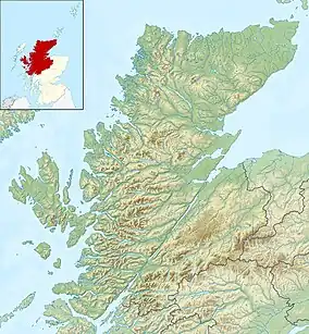
 Neave Island Neave Island shown within Highland Scotland | |
| OS grid reference | NC663643 |
| Coordinates | 58.54°N 4.29°W |
| Physical geography | |
| Island group | Highland / Islands of Sutherland |
| Area | 30 ha (74 acres)[3] |
| Highest elevation | 70 m (230 ft) |
| Administration | |
| Sovereign state | United Kingdom |
| Country | Scotland |
| Council area | Highland |
| Demographics | |
| Population | 0 |
| References | [4] |
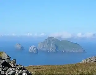
Neave Island is a small rugged island to the east of Eilean nan Ròn in Sutherland, separated from the mainland by a narrow channel, Caol Beag.[2] It is just over 1⁄2 mile (800 metres) offshore from the mainland settlement of Skerray and is known for its sandy beach on the far eastern end of the island.[5] There are remains of an ancient church, identified as St. Coloumba's Church on an 1874 map of the island.[6][7]
Footnotes
- Haswell-Smith, Hamish (2004). The Scottish Islands. Edinburgh: Canongate. ISBN 978-1-84195-454-7.
- "Coomb Island". Gazetteer for Scotland. Retrieved 22 November 2009.
- Rick Livingstone’s Tables of the Islands of Scotland (pdf) Argyll Yacht Charters. Retrieved 12 Dec 2011.
- Ordnance Survey. OS Maps Online (Map). 1:25,000. Leisure.
- "An island to myself". John o'Groat Journal. 28 May 2008. Retrieved 22 November 2009.
- Scotflyer / Alan Moar. "Neave Island". Flickr. Retrieved 22 November 2009.
- "Historical perspective for Coomb Island". Gazetteer for Scotland. Retrieved 22 November 2009.
Wikimedia Commons has media related to Neave Island.
This article is issued from Wikipedia. The text is licensed under Creative Commons - Attribution - Sharealike. Additional terms may apply for the media files.
