North Drumheller, Alberta
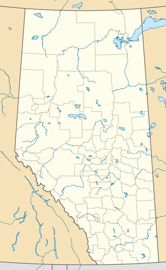
North Drumheller is a community within the Town of Drumheller, Alberta, Canada. It was previously a hamlet within the former Municipal District of Badlands No. 7 (then Improvement District No. 7) prior to being annexed by Drumheller in 1967.[1] The community is located within the Red Deer River valley at the intersection of Highway 9 and North Dinosaur Trail (Highway 838) on the north side of the river across from Drumheller's main townsite.[3]
| Year | Pop. | ±% |
|---|---|---|
| 1956 | 344 | — |
| 1961 | 429 | +24.7% |
| 1966 | 400 | −6.8% |
| Source: Statistics Canada[4][5][6] | ||
North Drumheller | |
|---|---|
 Location of North Drumheller in Alberta | |
| Coordinates: 51.470°N 112.715°W | |
| Country | Canada |
| Province | Alberta |
| Census division | No. 5 |
| Municipality | Town of Drumheller |
| Annexed | 1967[1] |
| Government | |
| • Mayor | Heather Colberg |
| • Governing body | Drumheller Town Council
|
| Time zone | UTC−7 (MST) |
| • Summer (DST) | UTC−6 (MDT) |
| Area code(s) | 403, 587, 825 |
See also
References
- "Town of Drumheller Municipal Development Plan: Volume 1 Background Study" (PDF). Town of Drumheller and Palliser Regional Municipal Services. April 21, 2008. p. 7. Archived from the original on April 20, 2014. Retrieved October 11, 2013.
- "Municipal Officials Search". Alberta Municipal Affairs. May 9, 2019. Retrieved October 1, 2021.
- "Town of Drumheller maps" (PDF) (PDF). Town of Drumheller. January 2006. p. 2. Retrieved October 11, 2013.
- Census of Canada, 1956 (PDF). Vol. Population of unincorporated villages and settlements. Dominion Bureau of Statistics. October 25, 1957. pp. 56–59. Retrieved October 24, 2021.
- "Population of unincorporated places of 50 persons and over, Alberta, 1961 and 1956". 1961 Census of Canada: Population (PDF). Series SP: Unincorporated Villages. Vol. Bulletin SP—4. Ottawa: Dominion Bureau of Statistics. April 18, 1963. pp. 63–67. Retrieved October 24, 2021.
- "Population of unincorporated places of 50 persons and over, 1966 and 1961 (Alberta)". Census of Canada 1966: Population (PDF). Special Bulletin: Unincorporated Places. Vol. Bulletin S–3. Ottawa: Dominion Bureau of Statistics. August 1968. pp. 184–187. Retrieved October 24, 2021.
This article is issued from Wikipedia. The text is licensed under Creative Commons - Attribution - Sharealike. Additional terms may apply for the media files.