Nugent, Tasmania
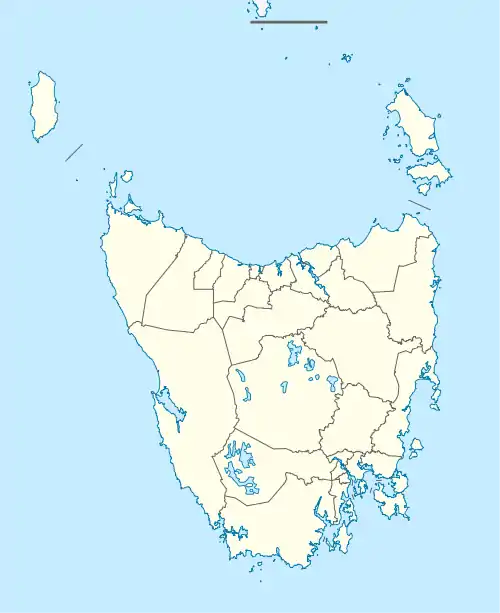
Nugent is a rural locality in the local government areas (LGA) of Glamorgan–Spring Bay and Sorell in the South-east LGA region of Tasmania. The locality is about 18 kilometres (11 mi) north-east of the town of Sorell. The 2016 census has a population of 101 for the state suburb of Nugent.[1]
| Nugent Tasmania | |||||||||||||||
|---|---|---|---|---|---|---|---|---|---|---|---|---|---|---|---|
 Nugent | |||||||||||||||
| Coordinates | 42°42′S 147°45′E | ||||||||||||||
| Population | 101 (2016 census)[1] | ||||||||||||||
| Postcode(s) | 7172 | ||||||||||||||
| Location |
| ||||||||||||||
| LGA(s) | Glamorgan–Spring Bay, Sorell | ||||||||||||||
| Region | South-east | ||||||||||||||
| State electorate(s) | Lyons | ||||||||||||||
| Federal division(s) | Lyons | ||||||||||||||
| |||||||||||||||
It is notable for its local hall, in which many small gatherings occur for the locals only, maybe extending to nearby towns such as Sorell, Buckland and Dodges Ferry. It is a stereotypical "small country town", an ever-shrinking group of small establishments.
The other notable facts about Nugent include the fishery and game hunting property, Redbanks Fish and Field. Redbanks is a renowned wild fishery (the fish grow naturally in the lakes) and pheasant shooting location. People come from Britain, New Zealand, Europe and America for pheasant shooting and trout-fishing.
History
Nugent Post Office opened on 5 February 1883 and closed in 1968.[2] Nugent was gazetted as a locality in 1960.[3]
Geography
Currajong Rivulet forms part of the northern boundary.[4]
Road infrastructure
Route C331 (Nugent Road) enters from the south and runs north-east to an intersection with Route C335 in the centre. Route C335 (Kellevie Road) enters from the south-east and runs north-west to the same intersection, from where it continues north-west as Nugent Road until it exits.[3][5]
References
- "2016 Census Quick Stats Nugent (Tas.)". quickstats.censusdata.abs.gov.au. Australian Bureau of Statistics. 23 October 2017. Retrieved 13 September 2020.
- Phoenix Auctions History. "Post Office List". Phoenix Auctions. Retrieved 12 February 2021.
- "Placenames Tasmania – Nugent". Placenames Tasmania. Select “Search”, enter "1159N", click “Search”, select row, map is displayed, click “Details”. Retrieved 13 September 2020.
- Google (13 September 2020). "Nugent, Tasmania" (Map). Google Maps. Google. Retrieved 13 September 2020.
- "Tasmanian Road Route Codes" (PDF). Department of Primary Industries, Parks, Water & Environment. May 2017. Archived from the original (PDF) on 1 August 2017. Retrieved 13 September 2020.