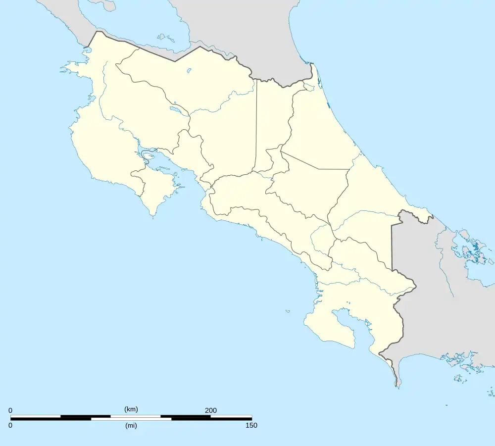
Orotina
Orotina is a district of the Orotina canton, in the Alajuela province of Costa Rica.[1][2]
Orotina | |
|---|---|
Orotina district | |
 Orotina Orotina district location in Costa Rica | |
| Coordinates: 9.9023536°N 84.5250233°W | |
| Country | |
| Province | Alajuela |
| Canton | Orotina |
| Area | |
| • Total | 21.59 km2 (8.34 sq mi) |
| Elevation | 229 m (751 ft) |
| Population (2011) | |
| • Total | 9,664 |
| • Density | 450/km2 (1,200/sq mi) |
| Time zone | UTC−06:00 |
| Postal code | 20901 |
Geography
Orotina has an area of 21.59 km2[3] and an elevation of 229 metres.[1] It is in a relatively flat section on the west side of the coastal mountain range of Costa Rica, It is 26 kilometers northeast of the Pacific Ocean at Tárcoles, 48 kilometers southwest of the provincial capital city of Alajuela, and 66 kilometers from the national capital city of San Jose.
Demographics
| Historical population | |||
|---|---|---|---|
| Census | Pop. | %± | |
| 1927 | 2,294 | — | |
| 1950 | 3,018 | 31.6% | |
| 1963 | 3,925 | 30.1% | |
| 1973 | 5,038 | 28.4% | |
| 1984 | 6,539 | 29.8% | |
| 2000 | 8,045 | 23.0% | |
| 2011 | 9,664 | 20.1% | |
|
Instituto Nacional de Estadística y Censos[4] |
|||
For the 2011 census, Orotina had a population of 9,664 inhabitants.[6]
Transportation
Road transportation
With the National Route 27 completed the time it takes to get from the capital to Orotina is just about 45 minutes, instead of the 80–90 minutes it used to take.
The district is covered by the following road routes:
Schools
- Primo Vargas Valverde: an elementary school located across from the town park.
- Instituto Agropecuario de Orotina: a secondary school.
- Sistema Educativo Santa Fe Pacific: Kirden Garten, Elementary and High School
- San Rafael Highschool: High School
- Little People School: bilingual preschool.
References
- "Declara oficial para efectos administrativos, la aprobación de la División Territorial Administrativa de la República N°41548-MGP". Sistema Costarricense de Información Jurídica (in Spanish). 19 March 2019. Retrieved 26 September 2020.
- División Territorial Administrativa de la República de Costa Rica (PDF) (in Spanish). Editorial Digital de la Imprenta Nacional. 8 March 2017. ISBN 978-9977-58-477-5.
- "Área en kilómetros cuadrados, según provincia, cantón y distrito administrativo". Instituto Nacional de Estadística y Censos (in Spanish). Retrieved 26 September 2020.
- "Instituto Nacional de Estadística y Censos" (in Spanish).
- "Sistema de Consulta de a Bases de Datos Estadísticas". Centro Centroamericano de Población (in Spanish).
- "Censo. 2011. Población total por zona y sexo, según provincia, cantón y distrito". Instituto Nacional de Estadística y Censos (in Spanish). Retrieved 26 September 2020.
- "Las diez razones que justifican el Nuevo Aeropuerto Internacional Metropolitano en Orotina". GobiernoCR (in European Spanish). 2017-06-12. Retrieved 2017-09-21.
- "Gobierno desiste de construir aeropuerto internacional en Orotina". Repretel. 5 December 2019. Retrieved 5 December 2019.