Ortaklar
Ortaklar is a neighbourhood of the municipality and district of Germencik, Aydın Province, Turkey.[1] Its population is 13,242 (2022).[2] Before the 2013 reorganisation, it was a town (belde).[3][4] It is 10 kilometres (6.2 mi) to Germencik and 28 kilometres (17 mi) to Aydın. The ruins of ancient Magnesia on the Maeander are 4 km south of Ortaklar.[5]
Ortaklar | |
|---|---|
 Ortaklar Location in Turkey 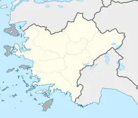 Ortaklar Ortaklar (Turkey Aegean) | |
| Coordinates: 37°53′N 27°30′E | |
| Country | Turkey |
| Province | Aydın |
| District | Germencik |
| Elevation | 72 m (236 ft) |
| Population (2022) | 13,242 |
| Time zone | TRT (UTC+3) |
| Postal code | 09330 |
| Area code | 0256 |
The village was founded after 1886 when the railroad from İzmir to Aydın was constructed. After the Balkan wars, the Turkish refugees from Greece were settled in the village and being on the stop of railroad and close to the D.320 state highway the village was quickly flourished. In 1949 it was declared township. It is a typical Aegean Region town. Figs and grapes are the most important products
References
- Mahalle, Turkey Civil Administration Departments Inventory. Retrieved 12 July 2023.
- "Address-based population registration system (ADNKS) results dated 31 December 2022, Favorite Reports" (XLS). TÜİK. Retrieved 12 July 2023.
- "Law No. 6360". Official Gazette (in Turkish). 6 December 2012.
- "Classification tables of municipalities and their affiliates and local administrative units" (DOC). Official Gazette (in Turkish). 12 September 2010.
- Stillwell, Richard; MacDonald, William L.; McAllister, Marian Holland, eds. (1976). "Magnesia ad Maeandrum". The Princeton Encyclopedia of Classical Sites. Princeton University Press.