Othain
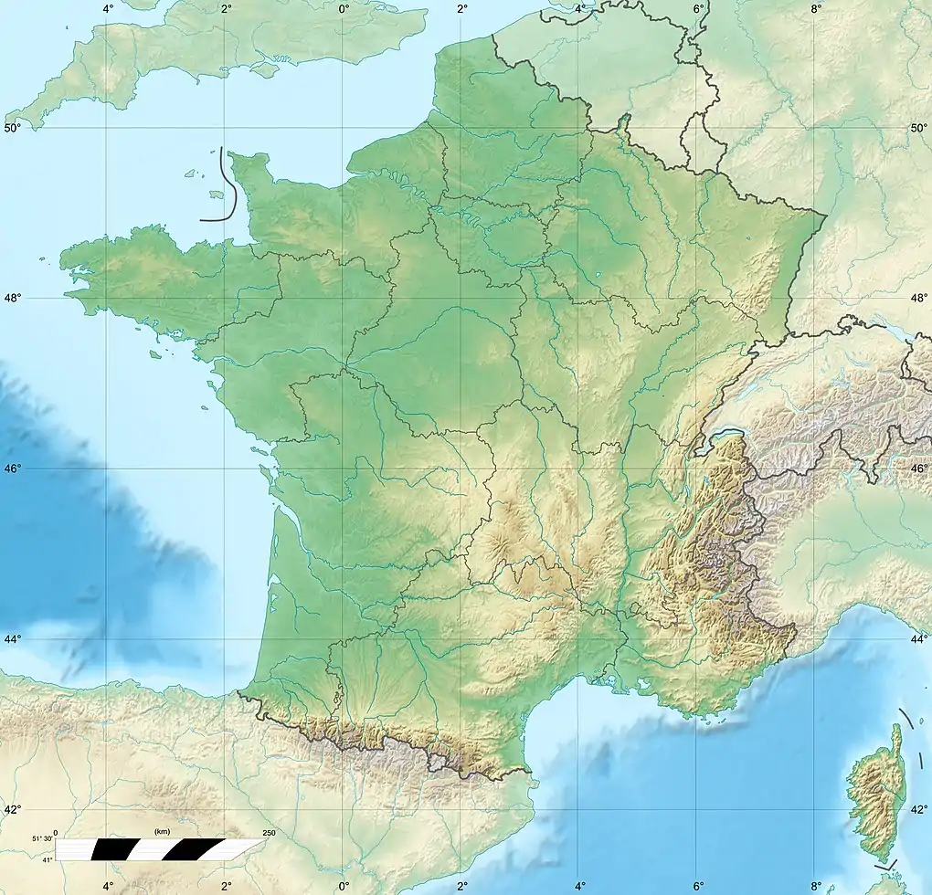
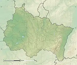
The Othain (French pronunciation: [ɔtɛ̃]) is a 67-kilometre (42 mi) long river in the Meurthe-et-Moselle and Meuse départements, northeastern France.[1] Its source is at Gondrecourt-Aix, in the Woëvre. It flows generally northwest. It is a left tributary of the Chiers into which it flows between Villécloye and Montmédy.
| Othain | |
|---|---|
 | |
  | |
| Location | |
| Country | France |
| Physical characteristics | |
| Source | |
| • location | Gondrecourt-Aix |
| • coordinates | 49°14′11″N 05°46′30″E |
| • elevation | 252 m (827 ft) |
| Mouth | |
• location | Chiers |
• coordinates | 49°31′14″N 05°22′54″E |
• elevation | 180 m (590 ft) |
| Length | 67 km (42 mi) |
| Basin size | 256 km2 (99 sq mi) |
| Discharge | |
| • average | 2.91 m3/s (103 cu ft/s) |
| Basin features | |
| Progression | Chiers→ Meuse→ North Sea |
Communes along its course
This list is ordered from source to mouth:
- Meurthe-et-Moselle: Gondrecourt-Aix, Affléville
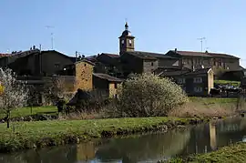
- Meuse: Dommary-Baroncourt, Domremy-la-Canne, Gouraincourt, Spincourt, Vaudoncourt, Muzeray, Nouillonpont, Duzey, Rouvrois-sur-Othain, Pillon, Sorbey, Saint-Laurent-sur-Othain
- Meurthe-et-Moselle: Grand-Failly
- Meuse: Rupt-sur-Othain
- Meurthe-et-Moselle: Petit-Failly
- Meuse: Marville
- Meurthe-et-Moselle: Saint-Jean-lès-Longuyon, Villers-le-Rond
- Meuse: Flassigny, Velosnes
- Meurthe-et-Moselle: Othe
- Meuse: Bazeilles-sur-Othain, Villécloye, Montmédy
This article is issued from Wikipedia. The text is licensed under Creative Commons - Attribution - Sharealike. Additional terms may apply for the media files.