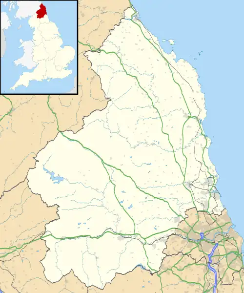
Ouston, Stamfordham
Ouston is a village and former civil parish, now in the parish of Stamfordham, in the county of Northumberland, England. In 1951 the parish had a population of 13.[1]
Ouston lies near the course of Hadrian's Wall, probably the most noted Roman monument in Britain.
Governance
Ouston was formerly a township in Stamfordham parish,[2] from 1866 Ouston was a civil parish in its own right until it was abolished on 1 April 1955 to form Stamfordham.[3]
See also
References
- "Population statistics Ouston Tn/CP through time". A Vision of Britain through Time. Retrieved 28 January 2022.
- "History of Ouston, in Castle Morpeth and Northumberland". A Vision of Britain through Time. Retrieved 28 January 2022.
- "Relationships and changes Ouston Tn/CP through time". A Vision of Britain through Time. Retrieved 28 January 2022.
This article is issued from Wikipedia. The text is licensed under Creative Commons - Attribution - Sharealike. Additional terms may apply for the media files.
.jpg.webp)
