Pack, Styria
Pack is a former municipality in the district of Voitsberg in the Austrian state of Styria. Since the 2015 Styria municipal structural reform, it is part of the municipality Hirschegg-Pack.[2]
Pack | |
|---|---|
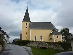 Pack parish church | |
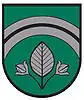 Coat of arms | |
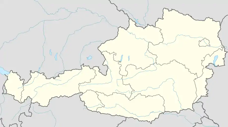 Pack Location within Austria | |
| Coordinates: 46°58′40″N 14°59′05″E | |
| Country | Austria |
| State | Styria |
| District | Voitsberg |
| Government | |
| • Mayor | Johann Schmid (ÖVP) |
| Area | |
| • Total | 39.06 km2 (15.08 sq mi) |
| Elevation | 1.116 m (3.661 ft) |
| Population (1 January 2016)[1] | |
| • Total | 414 |
| • Density | 11/km2 (27/sq mi) |
| Time zone | UTC+1 (CET) |
| • Summer (DST) | UTC+2 (CEST) |
| Postal code | 8583 |
| Area code | 03146 |
| Vehicle registration | VO |
| Website | www.pack.steiermark.at |
References
This article is issued from Wikipedia. The text is licensed under Creative Commons - Attribution - Sharealike. Additional terms may apply for the media files.