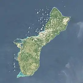
Pago River
The Pago River[1] is one of the longest rivers in the United States territory of Guam. It is fed by two inland rivers, Lonfit River and Sigua River.[2] Rising close to the west coast, it traverses the island, flowing into the sea at Pago Bay in the central east coast. The village of Yona lies just to the south of the river's mouth.
.jpg.webp) The Pago River empties into Pago Bay | |
 | |
| Physical characteristics | |
|---|---|
| Mouth | |
• coordinates | 13.4202778°N 144.7816667°E |
References
- U.S. Geological Survey Geographic Names Information System: Pago River
- Comfort, Christina M.; Walker, Gordon O.; McManus, Margaret A.; Fujimura, Atsushi G.; Ostrander, Chris E.; Donaldson, Terry J. (September 2019). "Physical dynamics of the reef flat, channel, and fore reef areas of a fringing reef embayment: An oceanographic study of Pago Bay, Guam". Regional Studies in Marine Science. 31: 100740. doi:10.1016/j.rsma.2019.100740.
See also
This article is issued from Wikipedia. The text is licensed under Creative Commons - Attribution - Sharealike. Additional terms may apply for the media files.