Pala da Tgiern
The Pala da Tgiern is a mountain of the Swiss Lepontine Alps, overlooking Suraua in the canton of Graubünden. It lies north of the Crap Grisch, in the Val Lumnezia.
| Pala da Tgiern | |
|---|---|
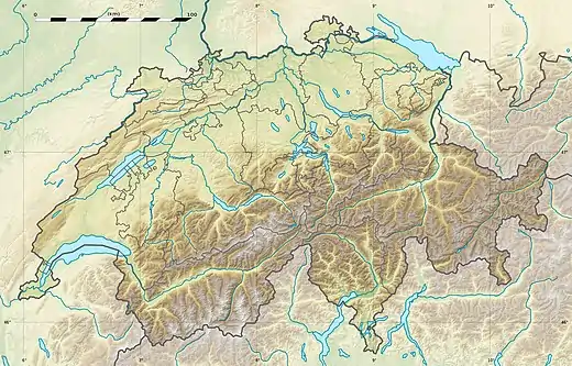 Pala da Tgiern Location in Switzerland | |
| Highest point | |
| Elevation | 2,279 m (7,477 ft) |
| Prominence | 74 m (243 ft)[1] |
| Parent peak | Rheinwaldhorn |
| Coordinates | 46°41′18.3″N 9°13′09.4″E |
| Geography | |
| Location | Graubünden, Switzerland |
| Parent range | Lepontine Alps |
References
- Retrieved from the Swisstopo topographic maps. The key col is located south of the summit at 2,205 metres.
This article is issued from Wikipedia. The text is licensed under Creative Commons - Attribution - Sharealike. Additional terms may apply for the media files.