Papageno Airport
Papageno Airport (Spanish: Aeropuerto Papageno), (ICAO: SCNG) was an airstrip 1 kilometre (0.6 mi) west of Calafquén Lake. Panguipulli, a city in the Los Ríos Region of Chile, is 11 kilometres (6.8 mi) to the south.
Papageno Airport | |||||||||||
|---|---|---|---|---|---|---|---|---|---|---|---|
| Summary | |||||||||||
| Airport type | Closed | ||||||||||
| Serves | Panguipulli, Chile | ||||||||||
| Elevation AMSL | 853 ft / 260 m | ||||||||||
| Coordinates | 39°32′59″S 72°17′28″W | ||||||||||
| Map | |||||||||||
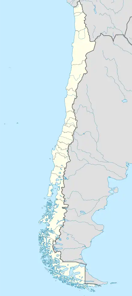 SCNG Location of Papageno Airport in Chile | |||||||||||
| Runways | |||||||||||
| |||||||||||
References
- Airport record for Papageno Airport at Landings.com. Retrieved 2013-09-10
- Google (2013-09-10). "location of Papageno Airport" (Map). Google Maps. Google. Retrieved 2013-09-10.
External links
This article is issued from Wikipedia. The text is licensed under Creative Commons - Attribution - Sharealike. Additional terms may apply for the media files.