Paquetville
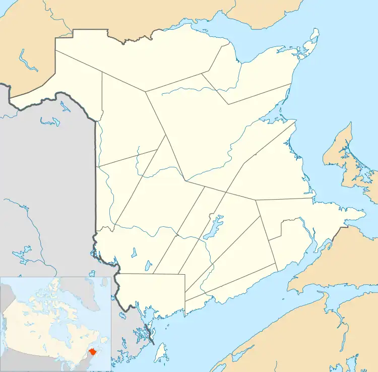
Paquetville is a former village in Gloucester County, New Brunswick, Canada.[2] It held village status prior to 2023 and is now part of the town of Hautes-Terres. It is on the Acadian Peninsula at the intersection of Route 340, Route 135 and Route 350.
Paquetville | |
|---|---|
 | |
 Paquetville Location within New Brunswick. | |
| Coordinates: 47.668889°N 65.099167°W | |
| Country | Canada |
| Province | New Brunswick |
| County | Gloucester |
| Parish | Paquetville |
| Town | Hautes-Terres |
| Established | 1866 |
| Village Status | 1966 |
| Electoral Districts Federal | Acadie—Bathurst |
| Provincial | Centre-Péninsule-Saint-Sauveur |
| Area | |
| • Land | 9.26 km2 (3.58 sq mi) |
| Population (2021)[1] | |
| • Total | 718 |
| • Density | 77.5/km2 (201/sq mi) |
| • Change (2016–21) | |
| • Dwellings | 359 |
| Time zone | UTC-4 (AST) |
| • Summer (DST) | UTC-3 (ADT) |
| Postal code(s) | |
| Area code | 506 |
| Highways | |

History
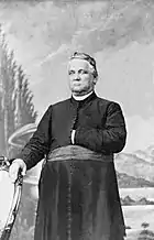
Paquetville was founded by Monseigneur Paquet in 1873, who brought several parishioners with him from Shippagan.
On 1 January 2023, Paquetville amalgamated with the village of Saint-Isidore and all or part of six local service districts to form the new town of Hautes-Terres.[3][4] The community's name remains in official use.[5]
Demographics
In the 2021 Census of Population conducted by Statistics Canada, Paquetville had a population of 718 living in 324 of its 359 total private dwellings, a change of -0.3% from its 2016 population of 720. With a land area of 9.26 km2 (3.58 sq mi), it had a population density of 77.5/km2 (200.8/sq mi) in 2021.[1]
| 2021 | 2016 | 2011 | |
|---|---|---|---|
| Population | 718 (-0.3% from 2016) | 720 (+2.0% from 2011) | 706 (+10.0% from 2006) |
| Land area | 9.26 km2 (3.58 sq mi) | 9.26 km2 (3.58 sq mi) | 9.40 km2 (3.63 sq mi) |
| Population density | 77.5/km2 (201/sq mi) | 77.8/km2 (202/sq mi) | 75.1/km2 (195/sq mi) |
| Median age | 53.2 (M: 51.2, F: 54.8) | 48.9 (M: 45.8, F: 51.5) | 46.9 (M: 45.6, F: 48.3) |
| Private dwellings | 325 (total) | 346 (total) | 309 (total) |
| Median household income | $48,896 | $52,040 |
Language
| Canada Census Mother Tongue - Municipality, Quebec[6] | ||||||||||||||||||
|---|---|---|---|---|---|---|---|---|---|---|---|---|---|---|---|---|---|---|
| Census | Total | French |
English |
French & English |
Other | |||||||||||||
| Year | Responses | Count | Trend | Pop % | Count | Trend | Pop % | Count | Trend | Pop % | Count | Trend | Pop % | |||||
2011 |
680 |
650 | 95.59% | 15 | 2.21% | 10 | 1.47% | 5 | 0.73% | |||||||||
2006 |
600 |
575 | 95.83% | 10 | 1.67% | 15 | 2.50% | 0 | 0.00% | |||||||||
2001 |
655 |
645 | 98.47% | 10 | 1.53% | 0 | 0.00% | 0 | 0.00% | |||||||||
1996 |
665 |
645 | n/a | 96.99% | 20 | n/a | 3.01% | 0 | n/a | 0.00% | 0 | n/a | 0.00% | |||||
Notable people
The village is the home of Édith Butler, who sings the song Paquetville.
See also
References
- "Census Profile of Paquetville". Statistics Canada. 6 December 2022. Retrieved 21 January 2023.
- New Brunswick Provincial Archives - Paquetville
- "Local Governments Establishment Regulation – Local Governance Act". Government of New Brunswick. 12 October 2022. Retrieved 21 January 2023.
- "RSC 4 Acadian Peninsula Regional Service Commission". Government of New Brunswick. Retrieved 21 January 2023.
- "Proposed entity names reflect strong ties to nature and history" (Press release). Irishtown, New Brunswick: Government of New Brunswick. 25 May 2022. Retrieved 21 January 2023.
- Statistics Canada: 1996, 2001, 2006, 2011 census
- "2021 Community Profiles". 2021 Canadian Census. Statistics Canada. February 4, 2022. Retrieved 2022-04-27.
- "2016 Community Profiles". 2016 Canadian Census. Statistics Canada. August 12, 2021. Retrieved 2019-03-28.
- "2011 Community Profiles". 2011 Canadian Census. Statistics Canada. March 21, 2019. Retrieved 2014-04-06.
- "2006 Community Profiles". 2006 Canadian Census. Statistics Canada. August 20, 2019.
- "2001 Community Profiles". 2001 Canadian Census. Statistics Canada. July 18, 2021.