Foloi
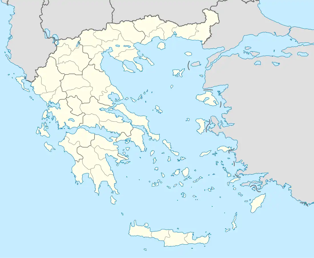
Foloi (Greek: Φολόη, Latin: Pholoe) is a village and a former municipality in Elis, West Greece, Greece. Since the 2011 local government reform it is part of the municipality Archaia Olympia, of which it is a municipal unit.[2] The municipal unit has an area of 174.202 km2.[3] The seat of the municipality was in the village Lalas, in the southern part of the municipal unit. The village Foloi is situated in the northwestern part. Foloi is situated in a mountainous, sparsely populated area. The Foloi oak forest is located in the municipal unit. Foloi is located about 15 km northeast of Olympia, 30 km east of Pyrgos and 55 km south of Patras. It borders on Arcadia to the east, across the river Erymanthus.
Foloi
Φολόη | |
|---|---|
 Foloi Location within the regional unit 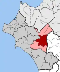 | |
| Coordinates: 37°47′N 21°43′E | |
| Country | Greece |
| Administrative region | West Greece |
| Regional unit | Elis |
| Municipality | Archaia Olympia |
| • Municipal unit | 174.2 km2 (67.3 sq mi) |
| Elevation | 640 m (2,100 ft) |
| Population (2011)[1] | |
| • Municipal unit | 2,969 |
| • Municipal unit density | 17/km2 (44/sq mi) |
| Time zone | UTC+2 (EET) |
| • Summer (DST) | UTC+3 (EEST) |
| Postal code | 270 66 |
| Area code(s) | 26240 |
| Vehicle registration | ΗΑ |
History
The village, formerly named Yiarmena (Greek: Γιάρμενα), was renamed in 1928[4] after an antic name related to the centaur Pholus.[5]
Subdivisions
The municipal unit Foloi is subdivided into the following communities (constituent villages in brackets):
Historical population
| Year | Village Foloi | Municipality Foloi |
|---|---|---|
| 1981 | 308 | - |
| 1991 | 253 | 3,826 |
| 2001 | 333 | 4,870 |
| 2011 | 208 | 2,969 |
See also
References
- "Απογραφή Πληθυσμού - Κατοικιών 2011. ΜΟΝΙΜΟΣ Πληθυσμός" (in Greek). Hellenic Statistical Authority.
- "ΦΕΚ B 1292/2010, Kallikratis reform municipalities" (in Greek). Government Gazette.
- "Population & housing census 2001 (incl. area and average elevation)" (PDF) (in Greek). National Statistical Service of Greece. Archived from the original (PDF) on 2015-09-21.
- Ε.Ε.Τ.Α.Α. - Διοικητικές μεταβολές Φολόης Ηλείας
- Stephanus of Byzantium, Ethnica, Ph670.3
External links
- Birds of Mount Foloi, also in Greek
- http://grenier2clio.free.fr/grec/pholoe.htm Archived 2005-01-11 at the Wayback Machine (in French)
Places adjacent to Foloi | ||||||||||||||||
|---|---|---|---|---|---|---|---|---|---|---|---|---|---|---|---|---|
| ||||||||||||||||