Pensons Arm, Newfoundland and Labrador
Pensons Arm (also known as Pinsent's Arm) is a local service district and designated place in the Canadian province of Newfoundland and Labrador. Pensons Arm, is a coastal village in Labrador, 20 km southeast of Charlottetown. It has a population of 43 in the 2021 census.[1]
Pensons Arm | |
|---|---|
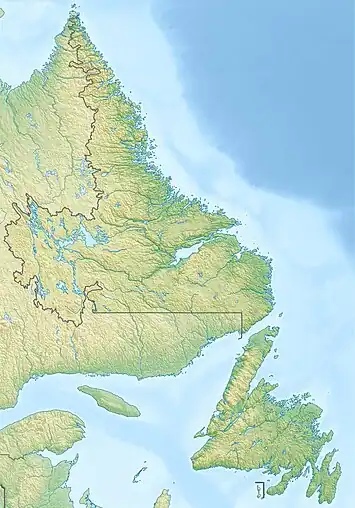 Pensons Arm Location of Pensons Arm 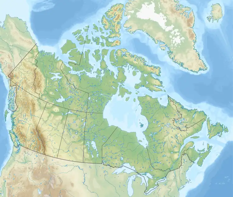 Pensons Arm Pensons Arm (Canada) | |
| Coordinates: 52.686°N 55.892°W | |
| Country | Canada |
| Province | Newfoundland and Labrador |
| Region | Labrador |
| Census division | 10 |
| Census subdivision | B |
| Government | |
| • Type | Unincorporated |
| Area | |
| • Land | 3.23 km2 (1.25 sq mi) |
| Population (2021) | |
| • Total | 43 |
| Time zone | UTC−04:00 (AST) |
| • Summer (DST) | UTC−03:00 (ADT) |
| Area code | 709 |
| Highways | |
Geography
Pensons Arm is in Labrador within Subdivision B of Division No. 10.[2] Topographically it is surrounded by St. Michaels Bay, an inlet of the Labrador Sea to the north and Scrammy Bay to the east.[3]
Demographics
As a designated place in the 2016 Census of Population conducted by Statistics Canada, Pensons Arm recorded a population of 61 living in 20 of its 21 total private dwellings, a change of 15.1% from its 2011 population of 53. With a land area of 3.23 km2 (1.25 sq mi), it had a population density of 18.9/km2 (48.9/sq mi) in 2016.[4]
Government
Pensons Arm is a local service district (LSD)[5] that is governed by a committee responsible for the provision of certain services to the community.[6] The chair of the LSD committee is Harrison Campbell.[5]
See also
References
- "Census Profile, 2021 Census, Statistics Canada - Validation Error".
- "Population and dwelling counts, for Canada, provinces and territories, census divisions, census subdivisions (municipalities) and designated places, 2016 and 2011 censuses – 100% data (Newfoundland and Labrador)". Statistics Canada. February 7, 2018. Retrieved December 23, 2021.
- United States Hydrographic Office; Davenport, Richard G. (1884). Newfoundland and Labrador: The coast and banks of Newfoundland and the coast of Labrador, from Grand Point to the Koksoak River, with the adjacent islands and banks (Public domain ed.). Govt. print. off. pp. 466–. Retrieved November 20, 2011.
- "Population and dwelling counts, for Canada, provinces and territories, and designated places, 2016 and 2011 censuses – 100% data (Newfoundland and Labrador)". Statistics Canada. February 7, 2018. Retrieved December 22, 2021.
- "Directory of Local Service Districts" (PDF). Government of Newfoundland and Labrador. October 2021. Retrieved January 1, 2022.
- "Local Service Districts – Frequently Asked Questions". Government of Newfoundland and Labrador. Retrieved January 1, 2022.