Sámara
Sámara is a district of the Nicoya canton, in the Guanacaste province of Costa Rica.[1][2]
Sámara | |
|---|---|
Sámara district | |
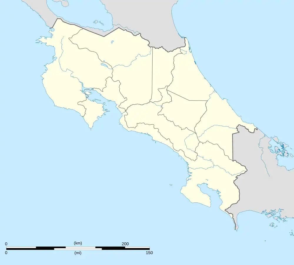
 Sámara Sámara district location in Costa Rica | |
| Coordinates: 9.9116035°N 85.5497267°W | |
| Country | |
| Province | Guanacaste |
| Canton | Nicoya |
| Creation | 26 November 1971 |
| Area | |
| • Total | 109.19 km2 (42.16 sq mi) |
| Elevation | 3 m (10 ft) |
| Population (2011) | |
| • Total | 3,512 |
| • Density | 32/km2 (83/sq mi) |
| Time zone | UTC−06:00 |
| Postal code | 50205 |
History
Sámara was created on 26 November 1971 by Decreto Ejecutivo 2075-G. Segregated from Nicoya.[2]
Demographics
| Historical population | |||
|---|---|---|---|
| Census | Pop. | %± | |
| 1973 | 2,317 | — | |
| 1984 | 1,979 | −14.6% | |
| 2000 | 2,603 | 31.5% | |
| 2011 | 3,512 | 34.9% | |
|
Instituto Nacional de Estadística y Censos[4] |
|||
For the 2011 census, Sámara had a population of 3,512 inhabitants.[6]
Villages
Administrative center of the district is the town of Sámara.
Other villages in the district are Bajo Escondido, Barco Quebrado, Buenavista, Buenos Aires, Cambutes, Cangrejal, Cantarrana, Chinampas, Esterones, Galilea, Palmar, Panamá, Playa Buena Vista, Primavera, Pueblo Nuevo, Samaria, Santo Domingo, Taranta, Terciopelo and Torito.
Economy
Tourism
This region was popular long before the arrival of foreign tourists by locals in the immediate area for weekend enjoyment, and by "weekenders" and summer-home owners from the capital of San Jose. The quality of the beaches in Sámara and neighboring Carrillo made the area a high priority region of tourism industry development for the Costa Rican government shortly after the opening of Liberia's Daniel Oduber International Airport. Because the beach is accessible from three of Costa Rica's four international airports, influential business owners and well connected landowners were able to secure government-funded improvements to the highway and beach infrastructure earlier than competing tourism regions like Nosara and Guiones, providing easy access to the virtually pristine beaches and calm ocean waters. These calm waters makes Sámara a well-known spot for surf beginners.
Transportation
Road transportation
The district is covered by the following road routes:
Sámara is located approximately 35 km from Nicoya, the economic and administrative hub of the region.
Access to Sámara is via paved roads. The paving of the final 35 km of the drive, Route 150 from Nicoya to Sámara on through to Carrillo was completed in early 2006. Public buses operate between Sámara and Nicoya; express buses operated by Empresa Alfaro connect Sámara with San Jose.
Air service is provided by Sansa Airlines to the small Carrillo Airport, about 5 km east of Sámara.
References
- "Declara oficial para efectos administrativos, la aprobación de la División Territorial Administrativa de la República N°41548-MGP". Sistema Costarricense de Información Jurídica (in Spanish). 19 March 2019. Retrieved 26 September 2020.
- División Territorial Administrativa de la República de Costa Rica (PDF) (in Spanish). Editorial Digital de la Imprenta Nacional. 8 March 2017. ISBN 978-9977-58-477-5.
- "Área en kilómetros cuadrados, según provincia, cantón y distrito administrativo". Instituto Nacional de Estadística y Censos (in Spanish). Retrieved 26 September 2020.
- "Instituto Nacional de Estadística y Censos" (in Spanish).
- "Sistema de Consulta de a Bases de Datos Estadísticas". Centro Centroamericano de Población (in Spanish).
- "Censo. 2011. Población total por zona y sexo, según provincia, cantón y distrito". Instituto Nacional de Estadística y Censos (in Spanish). Retrieved 26 September 2020.