Ashendon
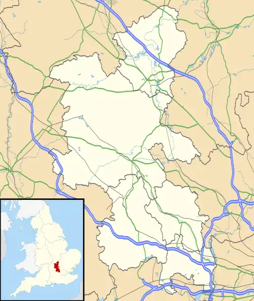
Ashendon is a small village and civil parish in Buckinghamshire, England. It is about nine miles west of Aylesbury and seven miles north of Thame.
| Ashendon | |
|---|---|
Mar2006.jpg.webp) St. Mary's parish church | |
 Ashendon Location within Buckinghamshire | |
| Population | 249 (2011 census)[1] |
| OS grid reference | SP7014 |
| Unitary authority | |
| Ceremonial county | |
| Region | |
| Country | England |
| Sovereign state | United Kingdom |
| Post town | Aylesbury |
| Postcode district | HP18 |
| Police | Thames Valley |
| Fire | Buckinghamshire |
| Ambulance | South Central |
| Website | Welcome to Ashendon |
The toponym is derived from the Old English for "Hill overgrown with ash trees". The Domesday Book of 1086 records the village as the property of the Grenville family; it was called Assedune. The original name refers to the fact that in Saxon times this area was forested, serving as hunting land for the king.
In recent times the manor of Ashendon passed into the hands of the Marquis of Buckingham.
Included in with the parish of Ashendon are the hamlets of Upper Pollicott and Lower Pollicott. The names of these hamlets derive from the Anglo-Saxon Pol's Cottage.
In the less distant past, Ashendon was an entirely farming village and, at present, there is still much agricultural activity within the village. However, some of the farmhouses have been converted into private residences, the best example of this being Ashendon Farm and its barns. Although Ashendon is a small village, in comparison with many nearby Buckinghamshire villages, it has a pub, a recreational playing field, a church and a thriving social club.
One mile south-west of the village, near Lower Pollicott, on the Chiltern Main Line between Princes Risborough and Bicester North, is the site of the former Ashendon Junction, which was an elaborate flying junction engineered for a high-speed turnout on to the now-dismantled link to the now disused Great Central Main Line at Grendon Underwood Junction. In former times this route was used by express trains between London Marylebone, Leicester and Sheffield.
References
- Neighbourhood Statistics Census 2011, Accessed 2 February 2013
External links
 Media related to Ashendon at Wikimedia Commons
- UK & Ireland Genealogy
- Ashendon in the Domesday Book
