Pontville, Tasmania
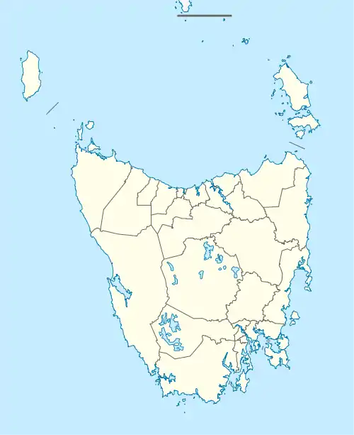
Pontville is a rural locality in the local government areas (LGA) of Brighton and Southern Midlands in the Hobart and Central LGA regions of Tasmania. The locality is about 4 kilometres (2.5 mi) north-west of the town of Brighton. The 2016 census has a population of 623 for the state suburb of Pontville.[1] It is a small rural community 28 kilometres (17 mi) north of Hobart, in the south-east of Tasmania.
| Pontville Tasmania | |||||||||||||||
|---|---|---|---|---|---|---|---|---|---|---|---|---|---|---|---|
 Pontville | |||||||||||||||
| Coordinates | 42°41′4″S 147°15′59″E | ||||||||||||||
| Population | 623 (2016 census)[1] | ||||||||||||||
| Postcode(s) | 7030 | ||||||||||||||
| Location | |||||||||||||||
| LGA(s) | Brighton, Southern Midlands | ||||||||||||||
| Region | Hobart, Central | ||||||||||||||
| State electorate(s) | Lyons | ||||||||||||||
| Federal division(s) | Lyons | ||||||||||||||
| |||||||||||||||
.jpg.webp)
History
Pontville was sited by Governor Lachlan Macquarie, in 1821, and was an early garrison town, where convicts built the bridge over the Jordan River. During World Wars I and II the area had a major army camp. There is an old sandstone bridge in Pontville that lies on the Jordan River. The bridge is part of the Midland Highway.
A railway line connected the town with Hobart from 1891 until 1947. Additional excursion trains operated from Hobart, bringing riflemen to the nearby range.[2] Pontville was gazetted as a locality in 1970.[3]
Brighton Post Office opened on 1 June 1832, was renamed Pontville in 1895, and closed in 1973.[4]
Geography
The Jordan River flows through from south-west to south.[5]
Road infrastructure
The Midland Highway (National Route 1) passes through from south to north-west. Route C195 (Brighton Road) starts at an intersection with Route 1 and runs south until it exits.[3][6]
Immigration detention centre
The Federal Government announced in April 2011 that it would spend $15 million on converting the army rifle range to an asylum-seeker detention centre, housing 400 people, mainly single adult men. Although the Pontville Immigration Detention Centre was also used to house under-age males.[7] In February 2012 it was announced by the Department of Immigration and Citizenship that the centre would be closed,[8] which it did in September 2013.[9]
References
- "2016 Census Quick Stats Pontville (Tas.)". quickstats.censusdata.abs.gov.au. Australian Bureau of Statistics. 23 October 2017. Retrieved 13 September 2020.
- A Short History of the Apsley Branch Line Stokes, H.J.W. Australian Railway Historical Society Bulletin, July, 1971 pp. 152-160
- "Placenames Tasmania – Pontville". Placenames Tasmania. Select “Search”, enter "1189D", click “Search”, select row, map is displayed, click “Details”. Retrieved 13 September 2020.
- Premier Postal History. "Post Office List". Premier Postal Auctions. Retrieved 16 June 2012.
- Google (13 September 2020). "Pontville, Tasmania" (Map). Google Maps. Google. Retrieved 13 September 2020.
- "Tasmanian Road Route Codes" (PDF). Department of Primary Industries, Parks, Water & Environment. May 2017. Archived from the original (PDF) on 1 August 2017. Retrieved 13 September 2020.
- Cooper, Mex (5 April 2011). "Tasmanian solution for asylum seekers". The Age. Retrieved 5 April 2011.
- "Pontville experience showcases our better natures". 20 February 2012.
- Ireland, Judith (14 January 2014). "Scott Morrison announces closure of four immigration detention centres". Sydney Morning Herald. AAP. Retrieved 30 July 2015.