Pumahuaín (Recuay)
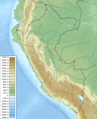
Pumahuaín[1][2] (possibly from Quechua puma cougar, puma, Ancash Quechua wayi house,[3][4] "cougar house", -n a suffix) is a 5,008-metre-high (16,430 ft)[1] mountain in the southern part of the Cordillera Blanca in the Andes of Peru. It is situated in the Ancash Region, Recuay Province, Catac District.[2] Puma Wayin lies southwest of Mururahu and Kunkush and northwest of Pukarahu.[2]
| Pumahuaín | |
|---|---|
 Pumahuaín Peru | |
| Highest point | |
| Elevation | 5,008 m (16,430 ft) |
| Coordinates | 9°50′26″S 77°16′51″W |
| Geography | |
| Location | Peru, Ancash, Recuay Province, Catac District |
| Parent range | Cordillera Blanca |
Sources
- Peru 1:100 000, Recuay (20-i). IGN (Instituto Geográfico Nacional - Perú).
- escale.minedu.gob.pe - UGEL map of the Recuay Province (Ancash Region)
- Teofilo Laime Ajacopa (2007). Diccionario Bilingüe: Iskay simipi yuyayk’anch: Quechua – Castellano / Castellano – Quechua (PDF). La Paz, Bolivia.
{{cite book}}: CS1 maint: location missing publisher (link) - Leonel Alexander Menacho López, Yachakuqkunapa Shimi Qullqa, Anqash Qhichwa Shimichaw (Ministerio de Educación), Wordbook Ancash Quechua-Spanish
This article is issued from Wikipedia. The text is licensed under Creative Commons - Attribution - Sharealike. Additional terms may apply for the media files.