Puna, Gujarat
Puna is a suburb of Surat in the Indian state of Gujarat.[1] The city is located 9 km east of Surat on the Surat-Bardoli highway NH6. Puna comes under the Surat Metropolitan Region.
Puna | |
|---|---|
Suburb | |
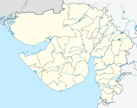 Puna Location in Gujarat, India  Puna Puna (India) | |
| Coordinates: 21.03°N 72.89°E | |
| Country | |
| State | Gujarat |
| District | Surat |
| Talukas | Choryasi |
| Government | |
| • Body | SUDA |
| Area | |
| • Total | 19 km2 (7 sq mi) |
| Elevation | 13 m (43 ft) |
| Population (2001) | |
| • Total | 119,092 |
| • Density | 6,300/km2 (16,000/sq mi) |
| Languages | |
| • Official | Gujarati, Hindi |
| Time zone | UTC+5:30 (IST) |
| Telephone code | 0261 |
| Vehicle registration | GJ-5 |
| Sex ratio | 664/1000 males ♂/♀ |
| Civic agency | SUDA |
| Website | gujaratindia |
Geography
The city is located at 21.08°N 72.88°E.[2] It has an average elevation of 16 metres (66 feet).
Demographics
As of 2001 India census,[3] Puna has a population of 98,523. Males constitute 51% of the population and females 49%. Puna has an average literacy rate of 74%, higher than the national average of 59.5%: male literacy is 81%, and female literacy is 63%. In Puna, 14% of the population is under 6 years of age.
Transport
By road: Puna is 6 km from Udhana and 9 km from Surat.
By air: the nearest airport is Surat, which is 25 km from Puna.
See also
References
- Archived 22 June 2011 at the Wayback Machine
- "Falling Rain Genomics, Inc – Puna".
- "Census of India 2001: Data from the 2001 Census, including cities, villages and towns (Provisional)". Census Commission of India. Archived from the original on 16 June 2004. Retrieved 1 November 2008.
This article is issued from Wikipedia. The text is licensed under Creative Commons - Attribution - Sharealike. Additional terms may apply for the media files.