Putorino
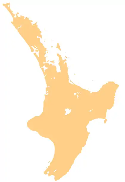
Putorino (Māori: Pūtōrino) is a small farming settlement in northern Hawke's Bay, on the eastern side of New Zealand's North Island. It is located on State Highway 2 between Tutira and Mohaka,[1] on the Hastings side of the border between Hastings and Wairoa.[2]
Putorino
Pūtōrino | |
|---|---|
Rural settlement | |
 Putorino | |
| Coordinates: 39°08′S 177°00′E | |
| Country | New Zealand |
| Region | Hawke's Bay |
| Territorial authority | Hastings District |
Pūtōrino was originally a Māori settlement at the mouth of the Waikari River, at an important stopping point for canoes. It became a European settlement in the 1860s, and move inland to the main Napier to Wairoa Road in the early 20th century. The modern village includes a hotel and sports centre.[2]
Flooding during Cyclone Gabrielle destroyed the State Highway 2 (SH2) bridge over the river at Putorino.[3]
Education
Putorino School is a co-educational state primary school,[4] with a roll of 13 as of April 2023.[5][6]
References
- Hariss, Gavin. "Putorino, Hawke's Bay". topomap.co.nz. NZ Topo Map.
- Pollock, Kerryn. "Putorino". Te Ara - the Encyclopedia of New Zealand. Ministry for Culture and Heritage.
- Moore, Heath. "Cyclone Gabrielle: Frightening moment bridge bends, breaks away from road in seconds". Hawkes Bay Today.
- Education Counts: Putorino School
- "New Zealand Schools Directory". New Zealand Ministry of Education. Retrieved 12 December 2022.
- "Education Review Office Report". ero.govt.nz. Education Review Office.