Iernut
Iernut (Hungarian: Radnót, pronounced [ˈrɒdnoːt]) is a town in Mureș County, central Transylvania, Romania. It administers eight villages: Cipău (Maroscsapó), Deag (Marosdég), Lechința (Maroslekence), Oarba de Mureș (Marosorbó), Porumbac (Porumbáktanya), Racameț (Józseftanya), Sălcud (Szélkút), and Sfântu Gheorghe (Csapószentgyörgy). It officially became a town in 1989, as a result of the Romanian rural systematization program.
Iernut | |
|---|---|
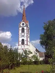 Reformed church, begun in 1486. | |
 Coat of arms | |
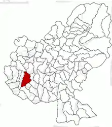 Location in Mureș County | |
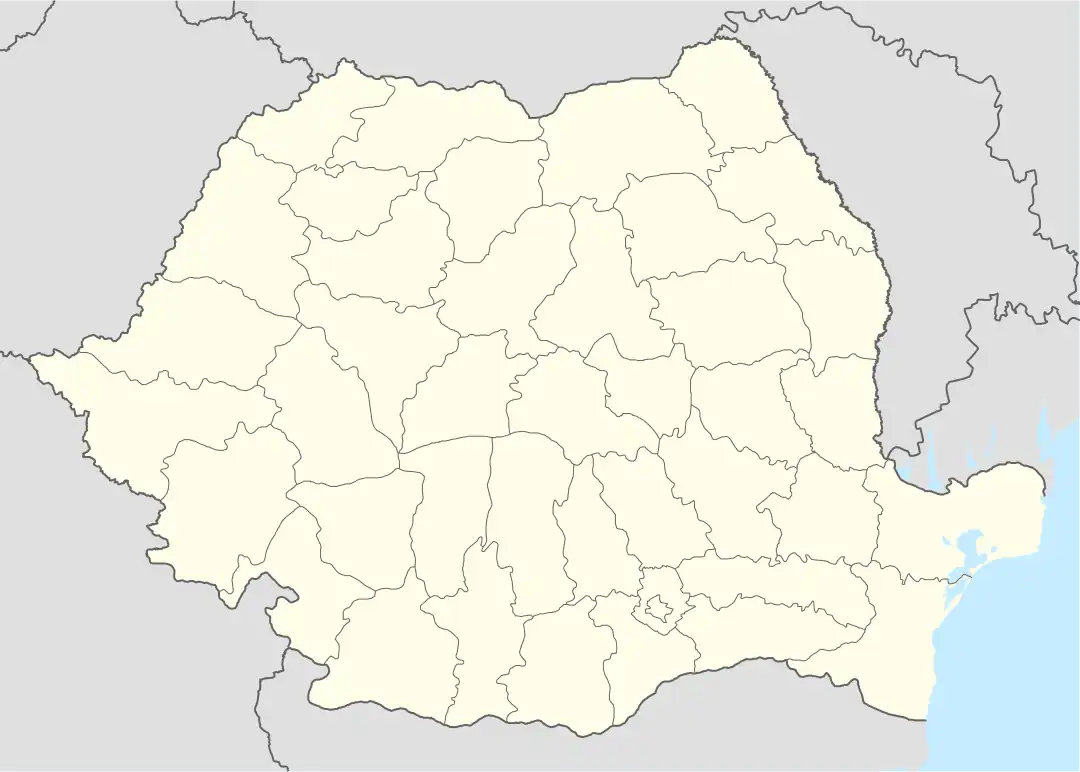 Iernut Location in Romania | |
| Coordinates: 46°27′13″N 24°14′0″E | |
| Country | Romania |
| County | Mureș |
| Government | |
| • Mayor (2020–2024) | Ioan Nicoară[1] (PNL) |
| Area | 106.36 km2 (41.07 sq mi) |
| Population (2021-12-01)[2] | 8,473 |
| • Density | 80/km2 (210/sq mi) |
| Time zone | EET/EEST (UTC+2/+3) |
| Vehicle reg. | MS |
| Website | www |
The commune is situated on the Transylvanian Plateau. It lies on the banks of the Mureș River; the Lechința River discharges into the Mureș here.
Demographics
| Year | Pop. | ±% |
|---|---|---|
| 1992 | 9,719 | — |
| 2002 | 9,833 | +1.2% |
| 2011 | 8,373 | −14.8% |
| Source: Census data | ||
The 2011 census revealed the following demographic data:[3]
- Romanians (76.55%)
- Hungarians (13.36%)
- Roma (9.84%)
- others (0.18%)
Main sights
- The Reformed church (built between 1486 and 1593);
- Kornis-Rakóczi-Bethlen Castle (built in 1545);
- The two lakes near the city;
- Mureș River;
- Lupoaica;
- Old Buildings.
References
Wikimedia Commons has media related to Iernut.
- "Results of the 2020 local elections". Central Electoral Bureau. Retrieved 11 June 2021.
- "Populaţia rezidentă după grupa de vârstă, pe județe și municipii, orașe, comune, la 1 decembrie 2021" (XLS). National Institute of Statistics.
- 2002 Census Data
This article is issued from Wikipedia. The text is licensed under Creative Commons - Attribution - Sharealike. Additional terms may apply for the media files.