Rajaudha
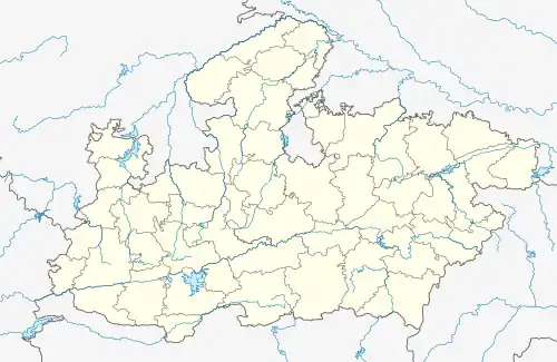
Rajaudha, also spelled as Rajodha, is a village in Porsa Tehsil, Morena District, Madhya Pradesh, India. It is located near the state border with Uttar Pradesh, about 49 kilometres northeast of the district capital Morena, and 6 kilometres northeast of the tehsil capital Porsa. As of the year 2011, it has a population of 16,524.[1]
Rajaudha
Rajodha | |
|---|---|
 Rajaudha  Rajaudha | |
| Coordinates: 26°42′25″N 78°25′21″E | |
| Country | |
| State | Madhya Pradesh |
| District | Morena |
| Tehsil | Porsa |
| Government | |
| • Type | Gram Panchayat |
| Area | |
| • Total | 33.75 km2 (13.03 sq mi) |
| Elevation | 156 m (512 ft) |
| Population (2011) | |
| • Total | 16,524 |
| • Density | 490/km2 (1,300/sq mi) |
| Languages | |
| • Official | Hindi |
| • Other | English |
| Time zone | UTC+5:30 (IST) |
| PIN | 476115 |
| Telephone code | 07538 |
| Vehicle registration | MP-06 |
Geography
Rajaudha is situated south of the Chambal River. The National Highway 552 passes through it. The average elevation of the village is 156 metres above the sea level.[2]
Demographics
According to the 2011 Census of India, Rajaudha has a total of 2,921 households. Out of the 16,524 inhabitants, 8,744 are male and 7,780 are female. The overall literacy rate is 67.56%, with 6,641 of the male population and 4,523 of the female population being literate. The census location code for Rajaudha is 452065.[1]
References
- "Basic Population Figures of India, States, Districts, Sub-District and Village, 2011". censusindia.gov.in. Archived from the original on 2 March 2023. Retrieved 16 April 2023.
- "Rajaudha topographic map, elevation, terrain". Topographic maps. Retrieved 16 April 2023.