Ravillou
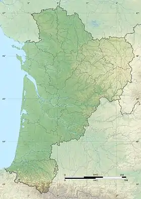
The Ravillou is a 13 km long river in the Dordogne department, France. It is a right tributary of the Loue, part of the Dordogne basin.[1] The river rises in the commune of Dussac and runs through Saint-Germain-des-Prés before emptying into the Loue northwest of Coulaures.
| Ravillou | |
|---|---|
.JPG.webp) The Ravillou near Saint-Pantaly-d'Excideuil | |
  | |
| Location | |
| Country | France |
| Physical characteristics | |
| Source | |
| • location | Dordogne |
| Mouth | |
• location | Loue |
• coordinates | 45°18′47″N 0°59′18″E |
| Length | 13 km (8.1 mi) |
| Basin features | |
| Progression | Loue→ Isle→ Dordogne→ Gironde estuary→ Atlantic Ocean |
On the night of June 13 and 14, 2007, a flash flood caused by a storm turned the Ravillou and its tributary the Merdanson into devastating torrents, that damaged the town of Saint-Germain-des-Prés and the bridge across the Ravillou.
This article is issued from Wikipedia. The text is licensed under Creative Commons - Attribution - Sharealike. Additional terms may apply for the media files.