Rayʽan
Rayʽan (Arabic: رَيْعَان Rayʿān) is a village in Hamdan District of Sanaa Governorate, Yemen.[1][2] It is located a short distance from the head of the Wadi Dahr near Bayt Naʽam, so that all the water coming down to the wadi from Jabal An-Nabi Shu'ayb passes through a steep, narrow valley, just north of Rayʽan.[1]
Rayʿān
رَيْعَان | |
|---|---|
Village | |
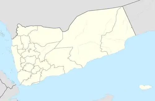
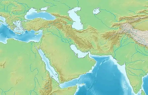
 Rayʿān Location in Yemen  Rayʿān Rayʿān (Middle East)  Rayʿān Rayʿān (West and Central Asia) | |
| Coordinates: 15.36616°N 44.08551°E[1] | |
| Country | |
| Governorate | Sanaa |
| District | Hamdan |
| Elevation | 8,343 ft (2,543 m) |
| Time zone | UTC+3 (Yemen Standard Time) |
History
There was once a dam in the valley north of Rayʽan, until it was destroyed by an earthquake in 245 A.H. (859 C.E.). The dam's exact purpose is unclear, but Robert T.O. Wilson suggested that it "may have helped to control floodwaters which would otherwise pass unchecked into Wadi Dahr." Such a flood happened in 1974. From the Rasulid period onward, Rayʽan was frequently used as a military encampment.[2]
References
- "Geonames.org. Ray'ān". Retrieved 8 February 2021.
- Wilson, Robert T.O. (1989). Gazetteer of Historical North-West Yemen. Germany: Georg Olms AG. pp. 181–2. Retrieved 8 February 2021.
This article is issued from Wikipedia. The text is licensed under Creative Commons - Attribution - Sharealike. Additional terms may apply for the media files.