Red Hill (Merced County)
Red Hill is a summit on the eastern slope of the Diablo Range, in Merced County, California. Its highest elevation is 2,326 feet (709 meters). The summit is part of a long ridge where its high point is between 37°07′35″N 121°11′31″W and 37°07′27″N 121°11′50″W.[1] The Red Mountain Road (formerly the Cottonwood Grade), runs over this ridge between Fifield Road on the divide of the Diablo Range and McCabe Road on Romero Creek.
| Red Hill | |
|---|---|
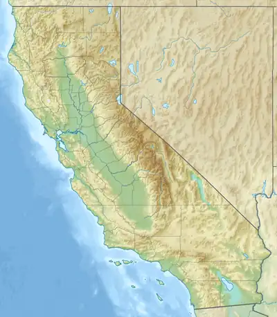 Red Hill Location in California  Red Hill Red Hill (the United States) | |
| Highest point | |
| Elevation | 2,398 ft (731 m)[1] |
| Prominence | 842 ft (257 m)[2] |
| Coordinates | 37°7′30.90″N 121°11′39.42″W |
| Geography | |
| Location | Mendocino County, California, United States |
| Parent range | Diablo Range[3] |
| Topo map | USGS Crevison Peak |
References
- "Red Hill". Geographic Names Information System. United States Geological Survey, United States Department of the Interior. January 19, 1981. Retrieved April 6, 2023.
- "Red Hill, California". Peakbagger.com. Retrieved April 6, 2023.
- "Diablo Range". Peakbagger.com. Retrieved April 6, 2023.
This article is issued from Wikipedia. The text is licensed under Creative Commons - Attribution - Sharealike. Additional terms may apply for the media files.