Ren'ai, Nantou
Ren'ai Township 仁愛鄉 | |
|---|---|
 | |
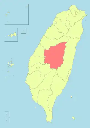
.svg.png.webp) Ren'ai Township in Nantou County | |
| Location | Nantou County, Taiwan |
| Area | |
| • Total | 1,274 km2 (492 sq mi) |
| Population (March 2023) | |
| • Total | 15,670 |
| • Density | 12/km2 (32/sq mi) |
| Website | www.renai.gov.tw |
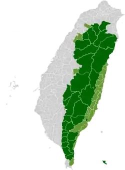
Ren'ai Township (Chinese: 仁愛鄉; pinyin: Rén'ài Xiāng; Wade–Giles: Jen2-ai4 Hsiang1) is a mountain indigenous township in Nantou County, Taiwan. It has a population total of 15,670 and an area of 1,273.5312 km2, making it the second largest township by area in the county after Xinyi Township. The populations is mainly of the indigenous Seediq, Atayal and Bunun peoples.
Administrative divisions
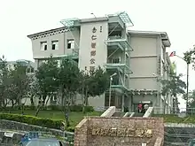
Ren'ai Township Office
| Ren'ai Township administrative divisions | ||||||
|---|---|---|---|---|---|---|

|
- 1 Rongxing Village
- 2 Cuihua Village
- 3 Lixing Village
- 4 Faxiang Village
- 5 Datong Village
- 6 Hezuo Village
- 7 Douda Village
- 8 Jingying Village
- 9 Chunyang Village
- 10 Qinai Village
- 11 Fazhi Village
- 12 Zhongzheng Village
- 13 Wanfeng Village
- 14 Nanfeng Village
- 15 Xinsheng Village
- 16 Huzhu Village
Tourist attractions

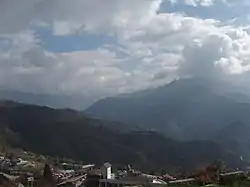
Mount Hehuan
- Aowanda National Forest Recreation Area
- Atayal Resort
- Chuping Archaeological Site
- Huisun Forest Recreation Area
- Mount Hehuan
- Qingjing Farm
- Shimen Mountain
- Small Swiss Garden
- Wujie Dam
- Wushe Dam
- Wushe Incident Memorial Park
- Zhuoshe Mountain
 Map of Ren-ai (north) area (1944)
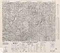 Map of Ren-ai (south) area (1944)
Wikivoyage has a travel guide for Ren'ai.
Wikimedia Commons has media related to Renai Township, Nantou.
This article is issued from Wikipedia. The text is licensed under Creative Commons - Attribution - Sharealike. Additional terms may apply for the media files.
