Rhamu
Rhamu (Somali: Raamo) know to the locals as "shantooley", is a town in the Mandera County of Kenya situated in the northeastern part of Kenya, approximately 15 kilometers east of the River Dawa. The town lies within a semi-arid region characterized by dry and hot conditions, with limited rainfall and sparse vegetation.. It is largely populated by the Garre and Degodia as well as a substantial settlement of Murule clan on the north east side. The town was previously built by the british colonial administration and was the border between Quranyow-Banna section of the Garre tribe and degodia Rhamu is located at the international border between Kenya and Ethiopia. Due to its proximity to Ethiopia, Rhamu has historically been a center for cross-border trade. Local traders engage in the exchange of goods, including livestock, agricultural products, and other commodities with their Ethiopian counterparts.
Rhamu
Raamo Raaxa | |
|---|---|
Town | |
| Nickname: Town of the sweet water | |
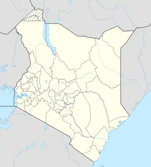
 Rhamu Location in Kenya | |
| Coordinates: 03°56′15″N 41°13′13″E | |
| Country | |
| County | Mandera County |
| Population (2019 census Estimate) | |
| • Total | 143,850 |
Location
Rhamu is located in extreme northeastern Kenya, at the border with Ethiopia, approximately 73 kilometres (45 mi), by road, west of Mandera, where the headquarters of the county are located.[1] This lies approximately 940 kilometres (584 mi), by road, northeast of Nairobi, the capital and largest city in the country.[2] The coordinates of the town are:3°56'15.0"N, 41°13'13.0"E (Latitude:3.937499; Longitude:41.220277).[3]
Overview
In 1977, the town was the location of what became known as the Rhamu Incident.[4] More recently, in 2014, ethnic conflict erupted between the Degodia and Garre, with some of the combatants coming from neighbouring Ethiopia, across the Dawa River. At least twenty people died in that conflict, with an estimated 13,000 internally displaced from their homes.[5][6][7][8][9]
The Elwak–Mandera Road passes through the middle of town. Rhamu is serviced by Rhamu Airport.[10]
Population
In September 2014, the Kenya Red Cross estimated the population of the Rhamu at about 40,000.[5] Rhamu serves as a significant trading center for the surrounding rural communities. The population of the town consists primarily of ethnic Somali residents, with a mix of other ethnic groups present as well.
Economic
The economy of Rhamu is predominantly driven by trade and agriculture. The town serves as a hub for local farmers, livestock herders, and traders who bring their products to the local markets. Livestock, such as camels, goats, and sheep, play a crucial role in the livelihoods of the residents.
See also
References
- GFC (1 April 2016). "Distance between Rhamu, Mandera, Kenya and Mandera, Kenya". Globefeed.com (GFC). Retrieved 1 April 2016.
- GFC (1 April 2016). "Distance between Nairobi, Kenya and Rhamu, Mandera, Kenya". Globefeed.com (GFC). Retrieved 1 April 2016.
- Google (1 April 2016). "Location of Rhamu, Mandera County, Kenya" (Map). Google Maps. Google. Retrieved 1 April 2016.
- Pg 86 - Husein Dualleh - From Barre to Aideed: Somalia : The agony of a nation
- IRN (1 September 2014). "Red Cross to Kenyatta: send troops to quell clan clashes". Nairobi: Independent Radio News (IRN). Retrieved 1 April 2016.
- Hajir, Abdimalik (24 August 2014). "One dead as fighting escalates in Rhamu, Mandera". Daily Nation. Nairobi. Retrieved 1 April 2016.
- Maina, Kamore (26 August 2014). "Kenya: Two Dead in Rhamu Clan Violence". The Star (Kenya) via AllAfrica.com. Nairobi. Retrieved 1 April 2016.
- Star Reporter (28 August 2014). "Kenya: Rhamu Seat Sparks Violence in Mandera". The Star (Kenya) via AllAfrica.com. Nairobi. Retrieved 1 April 2016.
- WB (24 August 2014). "15 killed in renewed clan clashes in Kenya". World Bulletin (WB). Retrieved 1 April 2016.
- Google (1 April 2016). "Location of Rhamu Airport, Rhamu, Mandera County, Kenya" (Map). Google Maps. Google. Retrieved 1 April 2016.