Riverside Airport (Kansas)
Riverside Airport (FAA LID: K32) was a privately owned, public use airport in Sedgwick County, Kansas, United States.[1] It was located on the east side of the intersection of Hoover Rd. and 33rd Street North in northwest Wichita.[1][2]
Riverside Airport | |||||||||||
|---|---|---|---|---|---|---|---|---|---|---|---|
| Summary | |||||||||||
| Airport type | Public use (abandoned) | ||||||||||
| Owner | Cornejo & Sons Fly High, Inc. | ||||||||||
| Serves | Wichita, Kansas | ||||||||||
| Elevation AMSL | 1,335 ft / 407 m | ||||||||||
| Coordinates | 37°44′46″N 097°24′22″W | ||||||||||
| Map | |||||||||||
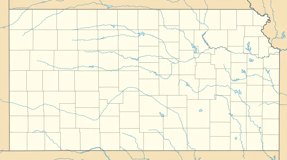
 K32 Location of airport in Kansas | |||||||||||
| Runways | |||||||||||
| |||||||||||
| Statistics (2012) | |||||||||||
| |||||||||||
In late February 2014, the property was sold to Cornejo & Sons Construction, which closed the facility and plans to mine the sand underneath it.[3]
Facilities and aircraft
Riverside Airport covered an area of 220 acres (89 ha) at an elevation of 1,335 feet (407 m) above mean sea level. It had one runway designated 16/34 with an asphalt surface measuring 3,200 by 40 feet (975 x 12 m).[1]
For the 12-month period ending June 8, 2012, the airport had 14,000 general aviation aircraft operations, an average of 38 per day. At that time there were 29 aircraft based at this airport: 25 single-engine, 3 multi-engine, and 1 ultralight.[1]
Nearby airports
Other airports in Wichita
- Wichita Dwight D. Eisenhower National Airport
- Colonel James Jabara Airport
- Beech Factory Airport
- Cessna Aircraft Field
- McConnell Air Force Base
- Westport Airport
Other airports in metro
Other airports in region
References
- FAA Airport Form 5010 for K32 PDF. Federal Aviation Administration. Effective May 31, 2012.
- Freeman, Paul (31 October 2016). "Abandoned & Little-Known Airfields: Kansas: Wichita area". Retrieved 7 December 2016.
- McMillin, Molly (24 February 2014). "Cornejo & Sons in process of buying Riverside Airport". Wichita Eagle. Archived from the original on 2 March 2014. Retrieved 25 February 2014.
External links
- Airport diagram and aerial photo from Kansas DOT
- Aerial image as of Match 1996 from USGS The National Map
- Resources for this airport:
- FAA airport information for K32
- AirNav airport information for K32
- FlightAware airport information and live flight tracker
- SkyVector aeronautical chart for K32