Rocher des Tablettes
The Rocher des Tablettes (1,288 m) is a mountain of the Jura, located west of Rochefort in the canton of Neuchâtel. Its south side consists of steep limestone cliffs overlooking the valley of the Areuse.
| Rocher des Tablettes | |
|---|---|
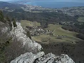 View from the panoramic view point over Lake Neuchâtel | |
| Highest point | |
| Elevation | 1,288 m (4,226 ft) |
| Prominence | 118 m (387 ft)[1] |
| Parent peak | Mont Racine |
| Coordinates | 46°58′34″N 6°47′14″E |
| Geography | |
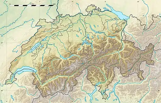 Rocher des Tablettes Location in Switzerland | |
| Location | Neuchâtel, Switzerland |
| Parent range | Jura Mountains |
References
- Retrieved from the Swisstopo topographic maps. The key col is the Col de la Tourne (1,170 m).
This article is issued from Wikipedia. The text is licensed under Creative Commons - Attribution - Sharealike. Additional terms may apply for the media files.