Rolling Heights
Rolling Heights is an unincorporated community in Alberta, Canada within Parkland County that is recognized as a designated place by Statistics Canada.[2] It is located on the east side of Highway 779, 7 km (4.3 mi) north of Highway 16.
Rolling Heights | |
|---|---|
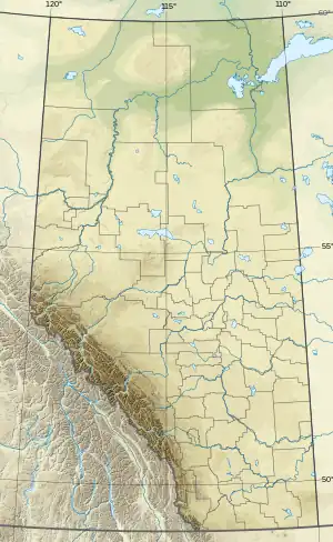 Rolling Heights Location of Rolling Heights 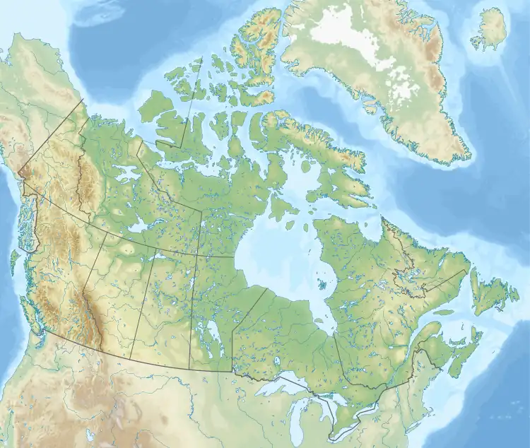 Rolling Heights Rolling Heights (Canada) | |
| Coordinates: 53.639°N 113.992°W | |
| Country | Canada |
| Province | Alberta |
| Region | Southern Alberta |
| Census division | 2 |
| Municipal district | Parkland County |
| Government | |
| • Type | Unincorporated |
| • Governing body | Parkland County Council |
| Area (2021)[1] | |
| • Land | 0.95 km2 (0.37 sq mi) |
| Population (2021)[1] | |
| • Total | 139 |
| • Density | 145.9/km2 (378/sq mi) |
| Time zone | UTC−07:00 (MST) |
| • Summer (DST) | UTC−06:00 (MDT) |
| Area code(s) | 780, 587, 825 |
Demographics
In the 2021 Census of Population conducted by Statistics Canada, Rolling Heights had a population of 139 living in 40 of its 42 total private dwellings, a change of 5.3% from its 2016 population of 132. With a land area of 0.95 km2 (0.37 sq mi), it had a population density of 146.3/km2 (379.0/sq mi) in 2021.[1]
As a designated place in the 2016 Census of Population conducted by Statistics Canada, Rolling Heights had a population of 132 living in 38 of its 38 total private dwellings, a change of -5% from its 2011 population of 139. With a land area of 0.64 km2 (0.25 sq mi), it had a population density of 206.3/km2 (534.2/sq mi) in 2016.[3]
References
- "Population and dwelling counts: Canada and designated places". Statistics Canada. February 9, 2022. Retrieved February 10, 2022.
- Statistics Canada (November 5, 2008). "Population and dwelling counts, for Canada, provinces and territories, and designated places, 2006 and 2001 censuses - 100% data (Alberta)". Retrieved October 17, 2010.
- "Population and dwelling counts, for Canada, provinces and territories, and designated places, 2016 and 2011 censuses – 100% data (Alberta)". Statistics Canada. February 8, 2017. Retrieved February 13, 2017.
Subdivisions of Alberta | |
|---|---|
| Subdivisions | |
| Communities | |
| Cities and urban service areas | |
| |