Ruby Ridge (northeastern Boundary County, Idaho)
Ruby Ridge is a 6,207-foot (1,892 m) mountain ridge in the Kaniksu National Forest (administered as part of the Idaho Panhandle National Forests) in northeastern Boundary County, Idaho, United States.[1]
| Ruby Ridge | |
|---|---|
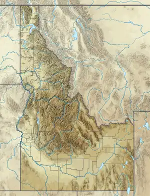 Ruby Ridge Location of Ruby Ridge  Ruby Ridge Ruby Ridge (the United States) | |
| Highest point | |
| Elevation | 4,616 ft (1,407 m)[1] |
| Coordinates | 48.9146094°N 116.1007168°W[1] |
| Geography | |
| Location | Kaniksu National Forest |
| Country | United States |
| State | Idaho |
| County | Boundary |
| Topo map | USGS: Canuck Peak |
| Geology | |
| Mountain type | Homoclinal ridge |
The landform is most notable for being confused with another Ruby Ridge in the same county, but about 26 miles (42 km) south–southwest. The other Ruby Ridge has an elevation 4,616 feet (1,407 m), is also located within the Kaniksu National Forest, and is the only other landform so named within the United States. (There is a third landform of the same name, located in Alberta, Canada, about 118 miles [190 km] to the east–northeast). The other, more proximate, Ruby Ridge gained notoriety after an armed standoff that occurred nearby in late August 1992, in which two civilians and one officer of the United States Marshals Service were killed.[2]
References
- U.S. Geological Survey Geographic Names Information System: Ruby Ridge
- Wiley, John K. (August 22, 1992). "U.S. deputy marshal gunned down". Lewiston Morning Tribune. Lewiston, Idaho. Associated Press. p. 1A. Retrieved 24 May 2020 – via Google News.
External links
![]() Media related to Ruby Ridge (northeastern Boundary County, Idaho) at Wikimedia Commons
Media related to Ruby Ridge (northeastern Boundary County, Idaho) at Wikimedia Commons