Saint-Pierre-d'Argençon
Saint-Pierre-d'Argençon (French pronunciation: [sɛ̃ pjɛʁ daʁʒɑ̃sɔ̃]; Vivaro-Alpine: Sant Peire d'Argençon) is a commune in the Hautes-Alpes department in the Provence-Alpes-Côte d'Azur region in Southeastern France. In 2019, it had a population of 162. It is located on the departmental border with Drôme, which is also the regional border with Auvergne-Rhône-Alpes.
Saint-Pierre-d'Argençon | |
|---|---|
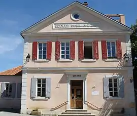 The town hall of Saint-Pierre-d'Argençon | |
Location of Saint-Pierre-d'Argençon | |
 Saint-Pierre-d'Argençon 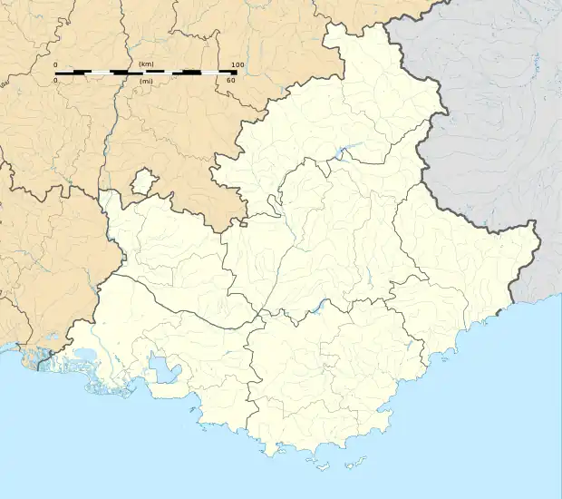 Saint-Pierre-d'Argençon | |
| Coordinates: 44°31′15″N 5°41′56″E | |
| Country | France |
| Region | Provence-Alpes-Côte d'Azur |
| Department | Hautes-Alpes |
| Arrondissement | Gap |
| Canton | Serres |
| Government | |
| • Mayor (2020–2026) | Jean-Pierre Brioulle[1] |
| Area 1 | 18.81 km2 (7.26 sq mi) |
| Population | 163 |
| • Density | 8.7/km2 (22/sq mi) |
| Time zone | UTC+01:00 (CET) |
| • Summer (DST) | UTC+02:00 (CEST) |
| INSEE/Postal code | 05154 /05140 |
| Elevation | 737–1,560 m (2,418–5,118 ft) (avg. 778 m or 2,552 ft) |
| 1 French Land Register data, which excludes lakes, ponds, glaciers > 1 km2 (0.386 sq mi or 247 acres) and river estuaries. | |
Demographics
| Year | Pop. | ±% |
|---|---|---|
| 1962 | 164 | — |
| 1968 | 151 | −7.9% |
| 1975 | 136 | −9.9% |
| 1982 | 147 | +8.1% |
| 1990 | 141 | −4.1% |
| 1999 | 150 | +6.4% |
| 2008 | 163 | +8.7% |
References
- "Répertoire national des élus: les maires". data.gouv.fr, Plateforme ouverte des données publiques françaises (in French). 2 December 2020.
- "Populations légales 2020". The National Institute of Statistics and Economic Studies. 29 December 2022.
Wikimedia Commons has media related to Saint-Pierre-d'Argençon.
This article is issued from Wikipedia. The text is licensed under Creative Commons - Attribution - Sharealike. Additional terms may apply for the media files.