Saint Regis Pond
Saint Regis Pond is a 388-acre (1.57 km2) pond, the largest in the Saint Regis Canoe Area in the Adirondacks in northern New York state. It drains into the west branch of the St. Regis River. It is part of the "Seven Carries" canoe route.[1]
| Saint Regis Pond | |
|---|---|
 Saint Regis Mountain (right), from Saint Regis Pond | |
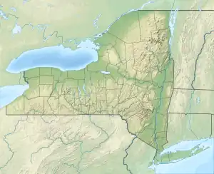
 Saint Regis Pond  Saint Regis Pond | |
| Location | Franklin County, New York |
| Coordinates | 44°22′52″N 74°18′57″W |
| Type | Pond |
| Primary outflows | St. Regis River |
| Max. length | 1.6 miles (2.6 km) |
| Surface area | 388-acre (1.57 km2) |
| Islands | 4 |
The pond is 1.6 miles (2.6 km) long. There are four small islands and several designated campsites. Saint Regis Pond can only be reached by one or more carries from other ponds in the Canoe Area; the shortest route is via a 0.6-mile (0.97 km) carry from Little Clear Pond after a 1.5-mile (2.4 km) paddle from the parking area on Floodwood Road.
References
- "Saint Regis Canoe Area". New York State Department of Environmental Conservation. Retrieved July 2, 2022.
This article is issued from Wikipedia. The text is licensed under Creative Commons - Attribution - Sharealike. Additional terms may apply for the media files.