Mandalgovi
Mandalgovi (Mongolian: Мандалговь; ᠮᠠᠨᠳᠠᠯᠭᠣᠪᠢ; also Mandalgov' or Mandalgobi) is the capital of the Dundgovi Province of Mongolia, about 300 km south of Ulaanbaatar on the border of the Gobi Desert. It has 10,506 inhabitants (2005), 10,299 (2007). The city administrative unit's official name is Saintsagaan sum .
Mandalgovi
Мандалговь ᠮᠠᠨᠳᠠᠯᠭᠣᠪᠢ | |
|---|---|
| Saintsagaan District Сайнцагаан сум ᠰᠠᠶᠢᠩᠴᠠᠭᠠᠨᠰᠤᠮᠤ | |
 Mandalgovi | |
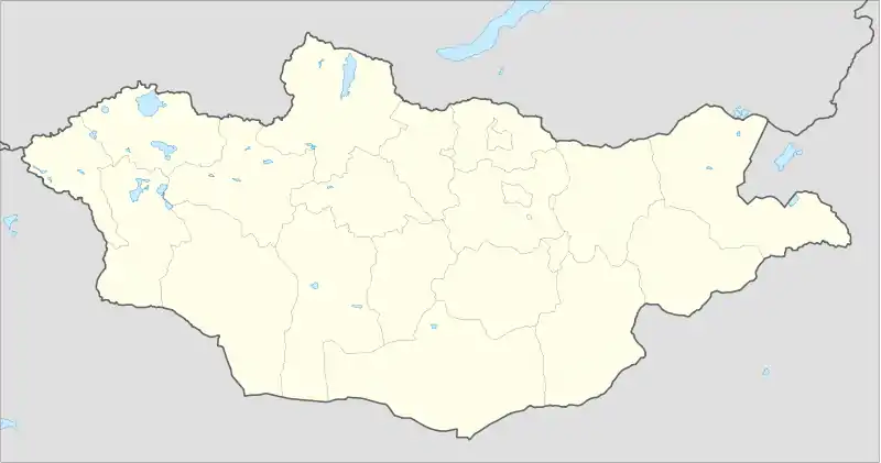
| Coordinates: 45°46′0″N 106°16′11″E | |
| Country | Mongolia |
| Province | Dundgovi Province |
| Area | |
| • Total | 11 km2 (4 sq mi) |
| Elevation | 1,395 m (4,577 ft) |
| Population (2017) | |
| • Total | 12,339 |
| • Density | 1,100/km2 (2,900/sq mi) |
| Time zone | UTC+8 (UTC + 8) |
History
Mandalgovi was originally a village when it consisted only of 40 yurts. In 1942, it was gained status as a town.
Climate
Mandalgovi has a cold arid climate (Köppen BWk) with warm summers and frigid winters. Most precipitation falls in the summer as rain. Winters are very dry.
| Climate data for Mandalgovi (1991-2020 normals, extremes 1944-present) | |||||||||||||
|---|---|---|---|---|---|---|---|---|---|---|---|---|---|
| Month | Jan | Feb | Mar | Apr | May | Jun | Jul | Aug | Sep | Oct | Nov | Dec | Year |
| Record high °C (°F) | 4.1 (39.4) |
16.0 (60.8) |
21.3 (70.3) |
29.9 (85.8) |
35.3 (95.5) |
36.8 (98.2) |
39.6 (103.3) |
38.3 (100.9) |
32.4 (90.3) |
23.6 (74.5) |
14.0 (57.2) |
13.5 (56.3) |
39.6 (103.3) |
| Average high °C (°F) | −10.7 (12.7) |
−5.5 (22.1) |
3.1 (37.6) |
12.5 (54.5) |
19.7 (67.5) |
25.3 (77.5) |
27.4 (81.3) |
25.2 (77.4) |
19.3 (66.7) |
10.0 (50.0) |
−1.2 (29.8) |
−9.2 (15.4) |
9.7 (49.4) |
| Daily mean °C (°F) | −17.1 (1.2) |
−12.7 (9.1) |
−4.5 (23.9) |
4.7 (40.5) |
12.0 (53.6) |
18.3 (64.9) |
20.8 (69.4) |
18.6 (65.5) |
12.1 (53.8) |
2.7 (36.9) |
−7.8 (18.0) |
−15.3 (4.5) |
2.7 (36.8) |
| Average low °C (°F) | −22.4 (−8.3) |
−18.7 (−1.7) |
−11.1 (12.0) |
−2.3 (27.9) |
4.9 (40.8) |
11.8 (53.2) |
14.9 (58.8) |
12.8 (55.0) |
5.7 (42.3) |
−3.3 (26.1) |
−13.2 (8.2) |
−20.3 (−4.5) |
−3.4 (25.8) |
| Record low °C (°F) | −37.8 (−36.0) |
−37.2 (−35.0) |
−35 (−31) |
−21.1 (−6.0) |
−12.2 (10.0) |
−3.9 (25.0) |
3.9 (39.0) |
−7.4 (18.7) |
−12.0 (10.4) |
−22.5 (−8.5) |
−34 (−29) |
−35.3 (−31.5) |
−37.8 (−36.0) |
| Average precipitation mm (inches) | 2.1 (0.08) |
1.0 (0.04) |
1.8 (0.07) |
4.9 (0.19) |
9.1 (0.36) |
19.5 (0.77) |
38.8 (1.53) |
38.3 (1.51) |
8.0 (0.31) |
5.0 (0.20) |
1.8 (0.07) |
1.1 (0.04) |
131.4 (5.17) |
| Average precipitation days (≥ 1.0 mm) | 0.1 | 0.5 | 0.5 | 0.9 | 1.6 | 3.5 | 6.7 | 6.0 | 2.1 | 0.8 | 0.6 | 0.4 | 23.7 |
| Source 1: Pogoda.ru.net [1] | |||||||||||||
| Source 2: NOAA (1961-1990) [2] | |||||||||||||
Transportation
The city is connected to Ulaanbaatar by a 300 km paved road completed in October 2013.[3]
References
- КЛИМАТ УЛАН-БАТОРА (in Russian). Pogoda.ru.net. Retrieved 4 January 2015.
- "Mandalgovi Climate Normals 1961-1990". National Oceanic and Atmospheric Administration. Retrieved January 15, 2013.
- http://www.infomongolia.com/ct/ci/7005
External links
 | ||
This article is issued from Wikipedia. The text is licensed under Creative Commons - Attribution - Sharealike. Additional terms may apply for the media files.