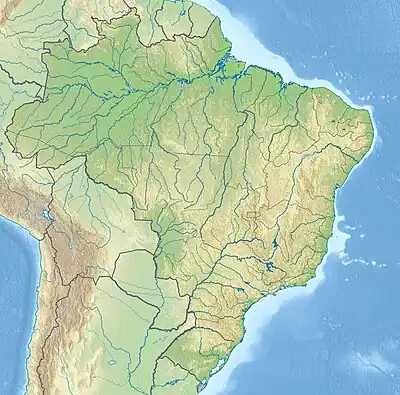
Salobra River
The Salobra River is a river of Mato Grosso do Sul state in Midwest Brazil.
| Salobra River | |
|---|---|
 | |
| Location | |
| Country | Brazil |
| Physical characteristics | |
| Source | |
| • location | Mato Grosso do Sul state |
| Mouth | |
• coordinates | 20°02′00″S 56°48′33″W |
The vegetation surrounding the Salobra is mainly evergreen deciduous forest growth.[1] The area surrounding the river is sparsely populated, with 4 inhabitants/km².[2] The climate of the area is predominantly Savanna.[3] The average annual temperature in the area is 24°C. The warmest month is November, when the average temperature is 26°C, and the coldest is July, with 20°C.[4] The average annual rainfall is 1.6 meters. The wettest month is November, with an average of 201 mm of precipitation, and the driest is August, with 2 mm of precipitation.[5]
See also
Sources
- Brazilian Ministry of Transport
- Rand McNally, The New International Atlas, 1993.
References
- "Land Cover Classification (1 year) | NASA". Nasa. 2016-02-28. Archived from the original on 2016-02-28. Retrieved 2023-06-13.
- "Population Density | NASA". NASA. 2016-02-09. Archived from the original on 2016-02-09. Retrieved 2023-06-13.
- Peel, M. C.; Finlayson, B. L.; McMahon, T. A. (2007-10-11). "Updated world map of the Köppen-Geiger climate classification". Hydrology and Earth System Sciences. 11 (5): 1633–1644. doi:10.5194/hess-11-1633-2007. ISSN 1027-5606.
- "Browse datasets | NASA Earth Observations (NEO)". NASA. 2020-05-11. Archived from the original on 2020-05-11. Retrieved 2023-06-13.
- "Rainfall (1 month - TRMM, 1998-2016) | NASA". NASA. 2016. Archived from the original on 2020-05-11. Retrieved 2023-06-13.
This article is issued from Wikipedia. The text is licensed under Creative Commons - Attribution - Sharealike. Additional terms may apply for the media files.