Salzitsa Lake
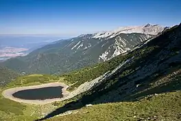
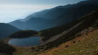
The Salzitsa Lake (Bulgarian: Сълзица), also known as Dautovo Lake (Даутово езеро) is a glacial lake in the Pirin mountain range, southwestern Bulgaria. It is situated at an altitude of 2,341 m in a small cirque at about 1 km to the northeast of the summit of Dautov Vrah (2,597 m).[1] It is the northernmost lake in the mountain range.[2]
| Salzitsa Lake | |
|---|---|
 | |
 Salzitsa Lake | |
| Location | Pirin |
| Coordinates | 41°49′45″N 23°20′15″E |
| Basin countries | Bulgaria |
| Max. length | 100 m (330 ft) |
| Max. width | 80 m (260 ft) |
| Surface area | 6,200 m2 (67,000 sq ft) |
| Max. depth | 2 m (6 ft 7 in) |
| Surface elevation | 2,341 m (7,680 ft) |
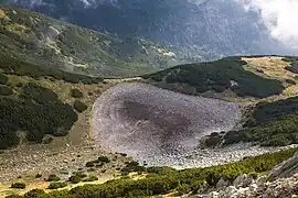
The lake has an elliptical shape, reaching length of 100 m and width of 80 m. The surface area is 6,200 m2; the depth is 2 m. Salzitsa Lake has predominantly snow-rain feed and may dry out in summer.[1][2]
It is the source the small river Bela reka, a left tributary of the river Iztok of the Mesta river basin.[2]
Gallery
Citations
- Geographic Dictionary of Bulgaria 1980, p. 161
- Dushkov 1972, p. 61
References
Wikimedia Commons has media related to Dautovo Lake.
- Мичев (Michev), Николай (Nikolay); Михайлов (Mihaylov), Цветко (Tsvetko); Вапцаров (Vaptsarov), Иван (Ivan); Кираджиев (Kiradzhiev), Светлин (Svetlin) (1980). Географски речник на България [Geographic Dictionary of Bulgaria] (in Bulgarian). София (Sofia): Наука и култура (Nauka i kultura).
- Душков (Dushkov), Добри (Dobri) (1972). Пирин. Туристически речник [Pirin. Tourist Dictionary] (in Bulgarian). София (Sofia): Наука и култура (Nauka i kultura).
This article is issued from Wikipedia. The text is licensed under Creative Commons - Attribution - Sharealike. Additional terms may apply for the media files.

