Sand, Innlandet
Sand is the administrative centre of Nord-Odal municipality in Innlandet county, Norway. The village lies between two lakes: Råsen and the northwestern arm of Storsjøen. The village of Mo lies about 8 kilometres (5.0 mi) to the east of Sand. Sand Church lies in the village. This village is the eastern terminus of the Norwegian County Road 181.[3]
Sand | |
|---|---|
Village | |
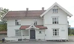 View of the old municipal building | |
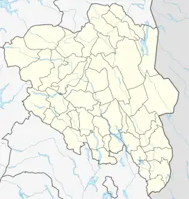 Sand Location of the village 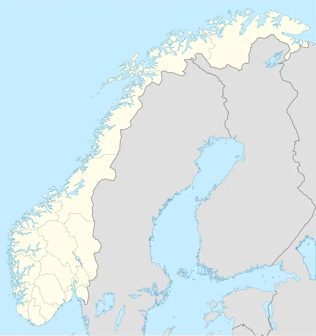 Sand Sand (Norway) | |
| Coordinates: 60.39221°N 11.5403°E | |
| Country | Norway |
| Region | Eastern Norway |
| County | Innlandet |
| District | Odalen |
| Municipality | Nord-Odal Municipality |
| Area | |
| • Total | 1.36 km2 (0.53 sq mi) |
| Elevation | 147 m (482 ft) |
| Population (2021)[1] | |
| • Total | 1,079 |
| • Density | 794/km2 (2,060/sq mi) |
| Time zone | UTC+01:00 (CET) |
| • Summer (DST) | UTC+02:00 (CEST) |
| Post Code | 2120 Sagstua |
The 1.36-square-kilometre (340-acre) village has a population (2021) of 1,079 and a population density of 794 inhabitants per square kilometre (2,060/sq mi).[1]
References
- Statistisk sentralbyrå (1 January 2021). "Urban settlements. Population and area, by municipality".
- "Sand, Nord-Odal". yr.no. Retrieved 20 March 2022.
- Mæhlum, Lars, ed. (21 November 2021). "Sand (tettsted i Nord-Odal)". Store norske leksikon (in Norwegian). Kunnskapsforlaget. Retrieved 20 March 2022.
This article is issued from Wikipedia. The text is licensed under Creative Commons - Attribution - Sharealike. Additional terms may apply for the media files.