Saumarez Island
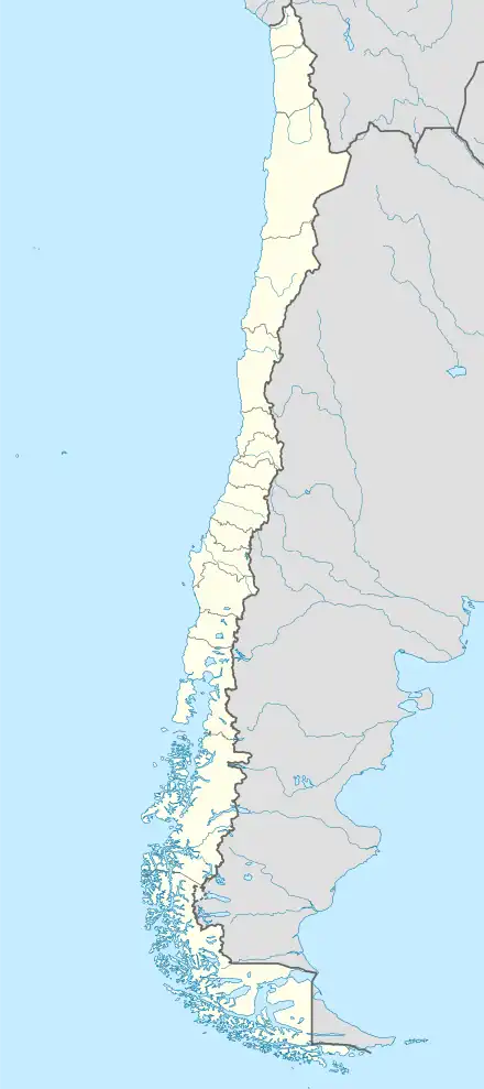
Saumarez Island (Spanish: Isla Saumarez) is an island within the Bernardo O'Higgins National Park in the Patagonian Archipelago of southern Chile.[1] The island was named after Admiral James Saumarez during the first voyage of HMS Beagle (1826–1830).[2]
Native name: Isla Saumarez | |
|---|---|
 Saumarez Island | |
| Geography | |
| Location | Pacific Ocean |
| Coordinates | 49°22′00″S 74°22′0″W |
| Area | 243 km2 (94 sq mi) |
| Highest elevation | 256 m (840 ft) |
| Administration | |
Chile | |
| Region | Magallanes y la Antártica Chilena |
| Province | Antártica Chilena |
Saumarez Island lies in a shipping channel between the archipelago and the mainland that avoids the open Pacific Ocean: shipping can pass southwards via the Messier Channel and the Paso del Indio (Indian Passage), then round Saumarez Island to Wide Channel.[3]
References
- "Isla Saumarez, Chile". geonames.org.
- Voyages of the Adventure and Beagle, vol. 1. 1838.
- South America pilot. Volume II, Southern part. United States Hydrographic Office. 1916. pp. 435–438.
This article is issued from Wikipedia. The text is licensed under Creative Commons - Attribution - Sharealike. Additional terms may apply for the media files.
