Scharwoude, Koggenland
Scharwoude is a village in the Dutch province of North Holland. It is a part of the municipality of Koggenland, and lies about 5 km southwest of Hoorn.
Scharwoude | |
|---|---|
Village | |
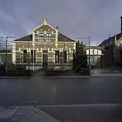 School with teacher's house | |
 Scharwoude Location in the Netherlands 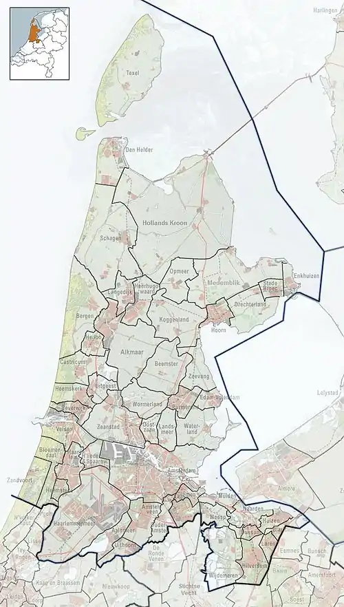 Scharwoude Location in the province of North Holland in the Netherlands | |
| Coordinates: 52°37′N 5°1′E | |
| Country | Netherlands |
| Province | North Holland |
| Municipality | Koggenland |
| Area | |
| • Total | 1.60 km2 (0.62 sq mi) |
| Elevation | −2.0 m (−6.6 ft) |
| Population (2021)[1] | |
| • Total | 415 |
| • Density | 260/km2 (670/sq mi) |
| Time zone | UTC+1 (CET) |
| • Summer (DST) | UTC+2 (CEST) |
| Postal code | 1634[1] |
| Dialing code | 0229 |
The village was first mentioned around 1312 as Scaderwoude. The etymology is unclear.[3] Scharwoude often experienced floods due to its proximity to the former Zuiderzee. It was flooded in 1375. The current shape of the dike and the village date from 1854. The former church dates from 1892. It was decommissioned in 1986, and is now a residential home.[4]
Gallery
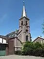 Scharwoude, church
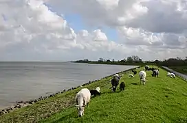 Dike with sheep
References
- "Kerncijfers wijken en buurten 2021". Central Bureau of Statistics. Retrieved 30 April 2022.
- "Postcodetool for 1634DM". Actueel Hoogtebestand Nederland (in Dutch). Het Waterschapshuis. Retrieved 30 April 2022.
- "Scharwoude - (geografische naam)". Etymologiebank (in Dutch). Retrieved 30 April 2022.
- "Scharwoude". Plaatsengids (in Dutch). Retrieved 30 April 2022.
This article is issued from Wikipedia. The text is licensed under Creative Commons - Attribution - Sharealike. Additional terms may apply for the media files.