Schwana, Washington
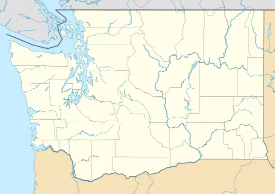
Schwana CDP (also spelled Schawana[4]) is a census-designated place (CDP) in Grant County, Washington, United States. Its boundaries include the unincorporated villages of Beverly, Washington and Schwana, after which it was named. As of the 2020 census, the CDP had a population of 215.[2]
Schwana, Washington
Schawana | |
|---|---|
 Schwana  Schwana | |
| Coordinates: 46°49′23″N 119°55′38″W | |
| Country | United States |
| State | Washington |
| County | Grant |
| Area | |
| • Total | 0.26 sq mi (0.68 km2) |
| • Land | 0.25 sq mi (0.65 km2) |
| • Water | 0.01 sq mi (0.03 km2) |
| Elevation | 535 ft (163 m) |
| Population | 215 |
| Time zone | UTC-8 (Pacific (PST)) |
| • Summer (DST) | UTC-7 (PDT) |
| ZIP Code | 99321 (Beverly) |
| Area code | 509 |
| FIPS code | 53-61925 |
| GNIS feature ID | 2807182[3] |
The CDP is in the southwest part of the county, on the eastern bank of the Columbia River, along Washington State Route 243. Beverly is on the northern edge of the CDP, at the Vantage Bridge connecting it with Interstate 90, with Schwana one mile to Beverly's south. The town of Mattawa is 7 miles (11 km) to the south of the CDP.
References
- "2020 U.S. Gazetteer Files – Washington". United States Census Bureau. Retrieved October 26, 2021.
- "Schwana CDP, Washington: 2020 DEC Redistricting Data (PL 94-171)". U.S. Census Bureau. Retrieved October 26, 2021.
- "Schwana Census Designated Place". Geographic Names Information System. United States Geological Survey, United States Department of the Interior.
- "Schawana Series". National Cooperative Soil Survey. Retrieved October 26, 2021.
Municipalities and communities of Grant County, Washington, United States | ||
|---|---|---|
| Cities | 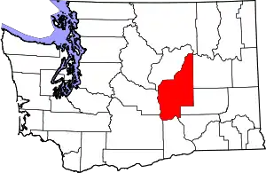 Map of Washington highlighting Grant County | |
| Towns | ||
| CDPs | ||
| Other communities | ||
| Ghost towns | ||
| Footnotes | ‡This populated place also has portions in an adjacent county or counties | |
| ||
This article is issued from Wikipedia. The text is licensed under Creative Commons - Attribution - Sharealike. Additional terms may apply for the media files.