Schlüechtli
The Schlüechtli is a mountain of the Swiss Lepontine Alps, situated south of Versam in the canton of Graubünden. It lies between the valleys of Turischtobel and Safien, approximately 5 kilometres south of the anterior Rhine.
| Schlüechtli | |
|---|---|
 Signina group from the north with Schlüechtli on the far left. | |
| Highest point | |
| Elevation | 2,283 m (7,490 ft) |
| Prominence | 83 m (272 ft)[1] |
| Parent peak | Rheinwaldhorn |
| Isolation | 1.1 km (0.68 mi) |
| Coordinates | 46°45′32.4″N 9°19′24.8″E |
| Geography | |
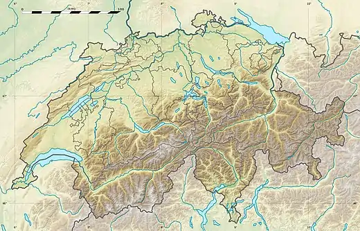 Schlüechtli Location in Switzerland | |
| Location | Graubünden, Switzerland |
| Parent range | Lepontine Alps |
References
- Retrieved from the Swisstopo topographic maps. The key col is located south of the Rot Flue at 2,200 metres.
This article is issued from Wikipedia. The text is licensed under Creative Commons - Attribution - Sharealike. Additional terms may apply for the media files.