Scie (river)
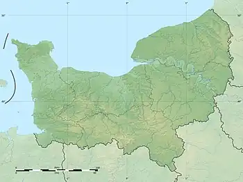
The Scie (French pronunciation: [si]) is a river that flows from the plateau of the southern Pays de Caux in the Seine-Maritime département of Normandy into the English Channel. It is 38 km (24 mi) long.[1]
| Scie | |
|---|---|
 The Scie at Dénestanville, looking upstream. | |
  | |
| Native name | La Scie (French) |
| Location | |
| Country | France |
| Physical characteristics | |
| Source | |
| • location | Pays de Caux |
| • elevation | 140 m (460 ft) |
| Mouth | |
• location | English Channel |
• coordinates | 49°55′5″N 1°1′54″E |
| Length | 38 km (24 mi) |
| Basin size | 217 km2 (84 sq mi) |
| Discharge | |
| • average | 1.8 m3/s (64 cu ft/s) |
The river rises at Saint-Victor-l'Abbaye and passes through Auffay, Saint-Maclou-de-Folleville, Longueville-sur-Scie, Anneville-sur-Scie, Heugleville-sur-Scie, Saint-Aubin-sur-Scie and finally Hautot-sur-Mer.
Economy
In the past, the river was host to 43 watermills that powered machinery to process wheat, cotton, tannin and flax for linen.[2][3] Two mills still exist today, at Saint-Maclou-de-Folleville (the moulin of Arbalète) and at Auffay.[3] Today, the activities of the valley includes the production of apples and cider.
See also
References
- Sandre. "Fiche cours d'eau - La Scie (G3100600)".
- Albert Hennetier, Aux sources normandes: Promenade au fil des rivières en Seine-Maritime, p. 150.
- Les moulins de la Scie Archived 2006-02-07 at the Wayback Machine sur le site de l'Association régionale des amis des moulins de Haute-Normandie. Consulté le 11 juin 2008.
This article is issued from Wikipedia. The text is licensed under Creative Commons - Attribution - Sharealike. Additional terms may apply for the media files.