Selbourne, Tasmania
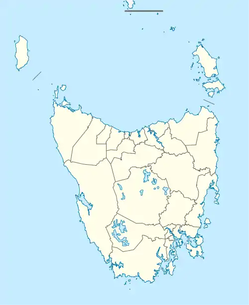
Selbourne is a rural locality in the local government areas of Meander Valley and West Tamar in the Launceston region of Tasmania. It is located about 29 kilometres (18 mi) west of the town of Launceston. The 2016 census determined a population of 68 for the state suburb of Selbourne.[1]
| Selbourne Tasmania | |||||||||||||||
|---|---|---|---|---|---|---|---|---|---|---|---|---|---|---|---|
 Selbourne | |||||||||||||||
| Coordinates | 41°25′15″S 146°52′54″E | ||||||||||||||
| Population | 68 (2016 census)[1] | ||||||||||||||
| Postcode(s) | 7292 | ||||||||||||||
| Location | 29 km (18 mi) W of Launceston | ||||||||||||||
| LGA(s) | Meander Valley, West Tamar | ||||||||||||||
| Region | Launceston | ||||||||||||||
| State electorate(s) | Lyons, Bass | ||||||||||||||
| Federal division(s) | Lyons, Bass | ||||||||||||||
| |||||||||||||||
History
The name, with various spellings, has been used for the area since 1853. Selbourne was gazetted as a locality in 1968.[2]
Geography
The Meander River forms most of the southern and south-eastern boundaries.[3]
Road infrastructure
The C735 route (Selbourne Road) starts at an intersection with B72 (Birralee Road) on the western boundary and runs through to the south-east, where it exits.[2][4]
References
- "2016 Census Quick Stats Selbourne (Tas.)". quickstats.censusdata.abs.gov.au. Australian Bureau of Statistics. 23 October 2017. Retrieved 31 May 2020.
- "Placenames Tasmania – Selbourne". Placenames Tasmania. Select “Search”, enter "1630F", click “Search”, select row, map is displayed, click “Details”. Retrieved 31 May 2020.
- Google (31 May 2020). "Selbourne, Tasmania" (Map). Google Maps. Google. Retrieved 31 May 2020.
- "Tasmanian Road Route Codes" (PDF). Department of Primary Industries, Parks, Water & Environment. May 2017. Archived from the original (PDF) on 1 August 2017. Retrieved 18 May 2020.
This article is issued from Wikipedia. The text is licensed under Creative Commons - Attribution - Sharealike. Additional terms may apply for the media files.